|
search place name
|
||
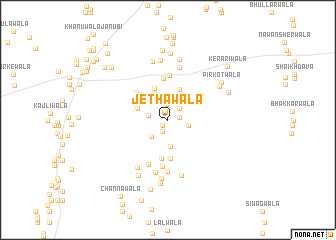
Jethawāla (Punjab, Pakistan)Jethawāla is a town in the Punjab region of Pakistan. An overview map of the region around Jethawāla is displayed below.
regional and 3d topo map of Jethawāla, Pakistan ::
Jethawāla airports ::
The nearest airport is MUX - Multan Intl, located 97.4 km south of Jethawāla.
Other airports nearby include LYP - Faisalabad Intl (135.0 km east), Nearby towns ::
Nahrānwāla (0.8km south west) //
Shemārwāla (1.0km north) //
Sherewāla (1.1km east) //
Bastiwāla (1.4km south) //
Faqīrānwāla (1.7km north) //
Lālwāla (1.7km north east) //
Sahmtiānwāla (1.9km west) //
Amīrwāla (2.1km east) //
Golāwāla (2.4km south west) //
Bakhshawāla (2.7km north) //
Fateh Khānwāla (2.9km south) //
Gurūwāla (2.9km north west) //
Mochiwāla (3.2km north west) //
Shāhwāla (3.2km north west) //
Nūranwāla (3.6km north) //
Lohārānwāla (3.8km north) //
Samundarwāla (4.3km south) //
Langarwāla (4.4km south) //
Kukrejīwāla (4.7km north) //
Rānjhewāla (4.3km north west) //
Godewāla (4.9km north) //
Māchhīwāla (5.2km south) //
Malikwāla (5.3km south) //
Khurāna Mirāsiwāla (5.7km south) //
Kirpīwāla (6.0km north) //
Khurāna Mochīwāla (6.0km south) //
Baimewāla (6.0km south west) //
Nūrwāla (6.3km south) //
Sandilāwāla (6.5km south) //
[all distances 'as the bird flies' and approximate] 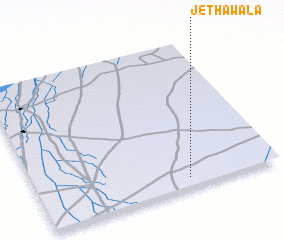 Places with similar names to Jethawāla, Pakistan ::
Disclaimer :: Information on this page comes without warranty of any kind |
||
|
Where is Jethawāla? Elevation and coordinates ::
Latitude (lat): 31°3'50"N Longitude (lon): 71°37'20"E
Elevation (approx.): 149m (map arrows pan, magnifying glasses zoom) |
||
|
Visiting Jethawāla? Hotel/Accommodation ::
Book a hotel in Jethawāla Travel Guide ::
Buy a travel guide for Pakistan rental cars ::
car rental offers GPS waypoint ::
download a GPX waypoint (PoI) of Jethawāla for your GPS receiver
|
||