|
search place name
|
||
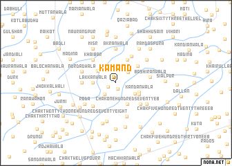
Kamānd (Punjab, Pakistan)Kamānd is a town in the Punjab region of Pakistan. An overview map of the region around Kamānd is displayed below.
regional and 3d topo map of Kamānd, Pakistan ::
Kamānd airports ::
The nearest airport is MUX - Multan Intl, located 104.1 km west of Kamānd.
Other airports nearby include LYP - Faisalabad Intl (135.8 km north), LHE - Lahore Allama Iqbal Intl (232.5 km north east), Nearby towns ::
Chak One Hundred Seventy-two EB (1.0km south) //
Bahāwal (1.2km south west) //
Chak Nūr (2.4km south west) //
Kot Muhammad Sharīf Khān (2.4km north east) //
Chak One Hundred Fifty-two EB (3.2km south east) //
Chak Eighty-Twelve L (3.2km north west) //
Lakkānwāla (3.2km west) //
Chak One Hundred Seventy EB (3.8km south east) //
Kandānwāla (3.6km south east) //
Karīwāla (3.7km south east) //
Yāreki (4.0km north east) //
Kot Muhammad Sharīf Khān (4.1km north east) //
Dhok Bamba (4.8km north east) //
Khaibar (4.9km north west) //
Qāsimwāla (4.9km south west) //
Chak One Hundred Sixty EB (4.9km south east) //
Akrānwāla (5.6km north) //
Faujiānwāla (4.8km west) //
Bashīrānwāla (4.9km east) //
Chak One Hundred Sixty-four EB (5.6km south) //
Nūrdādwāla (5.1km west) //
Babriānwāla (5.5km south east) //
Roda (5.6km south west) //
Chak One Hundred Forty EB (5.7km north east) //
Chak One Hundred Sixty-eight (6.3km south) //
Misr (6.4km north west) //
Ajītpur (6.4km north east) //
Tala Qāsimwāla (6.8km south) //
Chak Twenty-one-One Hundred Seventy-six (6.5km south west) //
[all distances 'as the bird flies' and approximate] 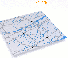 Places with similar names to Kamānd, Pakistan ::
Disclaimer :: Information on this page comes without warranty of any kind |
||
|
Where is Kamānd? Elevation and coordinates ::
Latitude (lat): 30°13'0"N Longitude (lon): 72°30'0"E
Elevation (approx.): 142m (map arrows pan, magnifying glasses zoom) |
||
|
Visiting Kamānd? Hotel/Accommodation ::
Book a hotel in Kamānd Travel Guide ::
Buy a travel guide for Pakistan rental cars ::
car rental offers GPS waypoint ::
download a GPX waypoint (PoI) of Kamānd for your GPS receiver
|
||