|
search place name
|
||
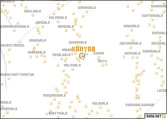
Kamyāb (Punjab, Pakistan)Kamyāb is a town in the Punjab region of Pakistan. An overview map of the region around Kamyāb is displayed below.
regional and 3d topo map of Kamyāb, Pakistan ::
Kamyāb airports ::
The nearest airport is MUX - Multan Intl, located 116.1 km south of Kamyāb.
Other airports nearby include LYP - Faisalabad Intl (149.2 km east), PZH - Zhob (187.9 km west), Nearby towns ::
Malkewāla (0.3km north west) //
Ashrafwāla (0.8km north west) //
Patti Biund (0.9km west) //
Guddewāla (1.2km north west) //
Kālūwāla (1.4km north east) //
Nazīrwāla (1.6km north) //
Gumbewāla (1.4km west) //
Ganiānwāla (2.1km north west) //
Saprāwāla (2.8km north) //
Madanāwāla (2.6km north west) //
Tarkhānwāla (3.0km north) //
Usmānwāla (3.1km north) //
Lakhewāla (2.8km east) //
Malikwāla (3.0km south west) //
Chhanniwāla (3.3km north) //
Chikan (2.9km east) //
Dulāwāla (3.4km west) //
Nehālwāla (3.6km west) //
Patti (3.9km east) //
Nehālwāla (4.2km west) //
Teriānwāla (4.6km south west) //
Mochiwāla (4.8km south west) //
Lakhewāla (4.5km east) //
Badāiānwāla (4.8km south west) //
Bishāratwāla (5.3km north) //
Muhamdawāla (5.0km west) //
Shāh Ālamwāla (5.8km north) //
Phaluwāla (5.9km south west) //
Lomechanwāla (5.9km south west) //
[all distances 'as the bird flies' and approximate] 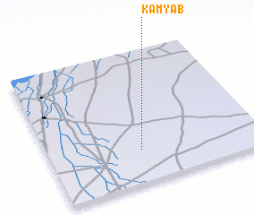
Disclaimer :: Information on this page comes without warranty of any kind |
||
|
Where is Kamyāb? Elevation and coordinates ::
Latitude (lat): 31°15'0"N Longitude (lon): 71°26'0"E
Elevation (approx.): 157m (map arrows pan, magnifying glasses zoom) |
||
|
Visiting Kamyāb? Hotel/Accommodation ::
Book a hotel in Kamyāb Travel Guide ::
Buy a travel guide for Pakistan rental cars ::
car rental offers GPS waypoint ::
download a GPX waypoint (PoI) of Kamyāb for your GPS receiver
|
||