|
search place name
|
||
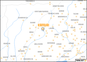
Kandai (Balochistān, Pakistan)Kandai is a town in the Balochistān region of Pakistan. An overview map of the region around Kandai is displayed below.
regional and 3d topo map of Kandai, Pakistan ::
Kandai airports ::
The nearest airport is UET - Quetta, located 66.6 km south of Kandai.
Other airports nearby include KDH - Kandahar (137.9 km north west), Nearby towns ::
Abdakai (1.0km east) //
Tlerai (1.5km south east) //
Dara (2.4km south east) //
Sāch (2.3km north west) //
Inzargai (2.5km south west) //
Lakar (3.1km east) //
Psha (3.4km north west) //
Takhoi (3.9km north east) //
Skhar (4.6km north west) //
Bāgh (4.6km west) //
Tsāhgai (4.8km south east) //
Toghān (5.1km south west) //
Pshin Karai Maghzai (5.3km south east) //
Rāgha (5.1km west) //
Gunge (5.6km south west) //
Dara (5.6km south east) //
Bāgh (6.3km north east) //
Wāli Chīna (6.9km south) //
Wulgai (6.2km north east) //
Spīn Haud (7.0km south east) //
Kratu Band Pass (7.4km north) //
Karāwai (7.3km south east) //
Tarach Chīna (7.4km north east) //
Wuch Nishk (7.8km south) //
Surna Kach (7.0km east) //
Kuchnai Bahramshi (7.5km north east) //
Anāgai (7.6km south west) //
Pshīn Karaj (8.8km south) //
Kain (7.7km east) //
[all distances 'as the bird flies' and approximate]  Places with similar names to Kandai, Pakistan ::
Disclaimer :: Information on this page comes without warranty of any kind |
||
|
Where is Kandai? Elevation and coordinates ::
Latitude (lat): 30°50'27"N Longitude (lon): 67°4'13"E
Elevation (approx.): 1968m (map arrows pan, magnifying glasses zoom) |
||
|
Visiting Kandai? Hotel/Accommodation ::
Book a hotel in Kandai Travel Guide ::
Buy a travel guide for Pakistan rental cars ::
car rental offers GPS waypoint ::
download a GPX waypoint (PoI) of Kandai for your GPS receiver
|
||