|
search place name
|
||
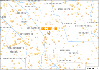
Kāra Bhīl (Sind, Pakistan)Kāra Bhīl is a town in the Sind region of Pakistan. An overview map of the region around Kāra Bhīl is displayed below.
regional and 3d topo map of Kāra Bhīl, Pakistan ::
Kāra Bhīl airports ::
The nearest airport is BDN - Talhar, located 46.6 km south of Kāra Bhīl.
Other airports nearby include WNS - Nawabshah (120.6 km north west), KHI - Karachi Jinnah Intl (183.5 km west), BHJ - Bhuj (229.8 km south), JSA - Jaisalmer (264.5 km north east), Nearby towns ::
Goth Imām Bakhsh (1.0km east) //
Hāji Chāng Goth (1.3km south west) //
Sāwan Waryān (1.5km north) //
Wali Muhammad Khāskheli (1.5km west) //
Āqil Dal (1.8km north east) //
Noshehra (1.7km south west) //
Ghulāmu Chāng Goth (1.9km south west) //
Goth Ghulām Chāng (2.2km south east) //
Chaudhri Azīz Ahmad (2.4km north) //
Abdullāh Hālepoto (2.2km south west) //
Goth Hasno Kapri (2.3km south west) //
Bachal Khāskheli (2.4km north west) //
Kamāl Hālepoto (2.7km south west) //
Dilāwar Khāskheli (2.8km north west) //
Muhammad Amīn Pathān (2.8km east) //
Goth Hāji Fateh Khān Jaskāni (3.0km south east) //
Goth Mehrāb Chāng (3.1km south) //
Goth Muhammad Yūsuf (3.2km south west) //
Goth Shāh Nawāz (3.2km north east) //
Goth Rāwal Solangi (3.4km south) //
Sāleh Khāskheli (3.2km north east) //
Maulvi Sharfu (3.6km north east) //
Goth Bachal Aresar (3.6km south west) //
Rāwat Khāskheli (3.6km north east) //
Akbarābād (3.7km north west) //
Goth Ghulām Rasūl (4.0km south east) //
Kot Jān Muhammad (4.1km south east) //
Goth Khushi (4.0km south east) //
Goth Bachal Hāle Poto (4.2km south west) //
[all distances 'as the bird flies' and approximate] 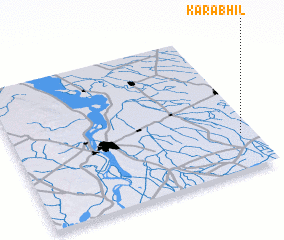 Places with similar names to Kāra Bhīl, Pakistan ::
// Kerby Hill (US)
// Grub Hill (US)
// Crab Hill (BB)
// Crab Hill (AG)
// Gurbhela (IN)
// Kirby Hill (GB)
Disclaimer :: Information on this page comes without warranty of any kind |
||
|
Where is Kāra Bhīl? Elevation and coordinates ::
Latitude (lat): 25°15'5"N Longitude (lon): 68°56'25"E
Elevation (approx.): 14m (map arrows pan, magnifying glasses zoom) |
||
|
Visiting Kāra Bhīl? Hotel/Accommodation ::
Book a hotel in Kāra Bhīl Travel Guide ::
Buy a travel guide for Pakistan rental cars ::
car rental offers GPS waypoint ::
download a GPX waypoint (PoI) of Kāra Bhīl for your GPS receiver
|
||