|
search place name
|
||
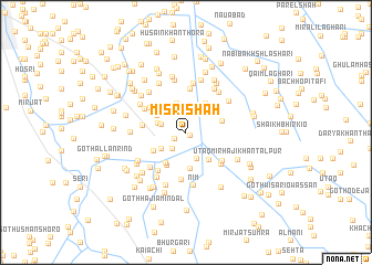
Misri Shāh (Sind, Pakistan)Misri Shāh is a town in the Sind region of Pakistan. An overview map of the region around Misri Shāh is displayed below.
regional and 3d topo map of Misri Shāh, Pakistan ::
Misri Shāh airports ::
The nearest airport is BDN - Talhar, located 54.7 km south east of Misri Shāh.
Other airports nearby include WNS - Nawabshah (107.0 km north), KHI - Karachi Jinnah Intl (146.9 km west), BHJ - Bhuj (246.3 km south east), Nearby towns ::
Goth Gullan Lashāri (0.5km north) //
Goth Sono Lashāri (0.5km south east) //
Goth Ali Lashāri (1.2km south west) //
Bachal Shāh (2.1km south west) //
Imām Bakhsh Lund (2.4km west) //
Goth Hāji Ghāzi Almāni (2.8km south) //
Ghulām Husain Lashāri (2.8km north) //
Goth Rājo Lund (2.7km west) //
Goth Sāleh Lashāri (2.8km north west) //
Mullān (2.8km north east) //
Tando Fāzil (2.8km south west) //
Goth Bakhsh Lashāri (3.1km north) //
Goth Meral Khoso (3.2km north west) //
Goth Qāim Ali Babari (3.5km north east) //
Goth Hāji Ibrāhīm Hingoro (3.5km south east) //
Goth Hāji Masar Almāni (3.6km south west) //
Goth Mullān (3.5km north east) //
Tando Fāzil (3.5km south west) //
Ālmāni (3.7km south) //
Muhammad Theba (3.5km east) //
Goth Hāji Bachaio Rind (3.8km south west) //
Ārif Kāku (4.1km north west) //
Goth Pīr Jo (4.3km north) //
Dhachrāpur (4.0km west) //
Goth Karimdād Tangri (4.5km south east) //
Goth Sajan Khān Rind (4.6km south west) //
Manjo Burdi (4.4km north west) //
Goth Hāji Ahmad Khān Tangri (4.6km south east) //
Goth Hāji Ahmad Almāni (4.8km south) //
[all distances 'as the bird flies' and approximate]  Places with similar names to Misri Shāh, Pakistan ::
// Meiserich (DE)
// Mooseurach (DE)
// Mesorráchi (GR)
// Messarosh (UA)
// Māsarāsh (IR)
// Mazār Shāh (IR)
// Mesrach (IR)
// Mzarcha (MA)
// Mzarcha (MA)
// Masarach (ES)
Disclaimer :: Information on this page comes without warranty of any kind |
||
|
Where is Misri Shāh? Elevation and coordinates ::
Latitude (lat): 25°16'0"N Longitude (lon): 68°33'45"E
Elevation (approx.): 19m (map arrows pan, magnifying glasses zoom) |
||
|
Visiting Misri Shāh? Hotel/Accommodation ::
Book a hotel in Misri Shāh Travel Guide ::
Buy a travel guide for Pakistan rental cars ::
car rental offers GPS waypoint ::
download a GPX waypoint (PoI) of Misri Shāh for your GPS receiver
|
||