|
search place name
|
||
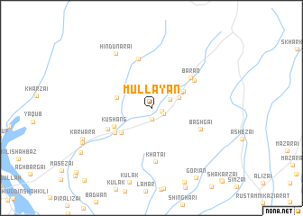
Mullāyan (Balochistān, Pakistan)Mullāyan is a town in the Balochistān region of Pakistan. An overview map of the region around Mullāyan is displayed below.
regional and 3d topo map of Mullāyan, Pakistan ::
Mullāyan airports ::
The nearest airport is UET - Quetta, located 63.5 km south of Mullāyan.
Other airports nearby include KDH - Kandahar (120.8 km north west), Nearby towns ::
Adosh (1.1km east) //
Silad (1.4km south) //
Nazar Bāgh (1.5km south east) //
Khān Jahān Bāgh (2.3km north east) //
Nauroz (3.2km north east) //
China Kārez (3.8km north east) //
Karam Khān (3.9km west) //
Āgha Khān (4.0km north east) //
Kāmrān Kaul (4.4km south west) //
Kushang (4.6km south west) //
Kāzha Chīna (4.9km south west) //
Khushang (5.3km south west) //
Bārān (5.6km north east) //
Sawal Kārez (5.6km north east) //
Bāqirzai (6.2km north) //
Bāghgai (5.9km south east) //
Khātai (6.7km south) //
Hindu Narai (7.7km north west) //
Karwara (8.3km south west) //
Bakhtār (8.5km south west) //
Gorian (9.9km south east) //
Spīn Band (9.4km south west) //
[all distances 'as the bird flies' and approximate] 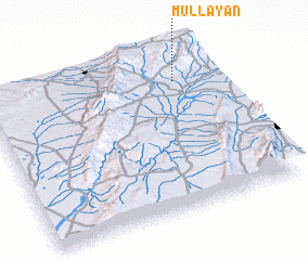 Places with similar names to Mullāyan, Pakistan ::
Disclaimer :: Information on this page comes without warranty of any kind |
||
|
Where is Mullāyan? Elevation and coordinates ::
Latitude (lat): 30°49'0"N Longitude (lon): 66°49'45"E
Elevation (approx.): 1834m (map arrows pan, magnifying glasses zoom) |
||
|
Visiting Mullāyan? Hotel/Accommodation ::
Book a hotel in Mullāyan Travel Guide ::
Buy a travel guide for Pakistan rental cars ::
car rental offers GPS waypoint ::
download a GPX waypoint (PoI) of Mullāyan for your GPS receiver
|
||