|
search place name
|
||
Nasīrābād (Punjab, Pakistan)Nasīrābād is a town in the Punjab region of Pakistan. An overview map of the region around Nasīrābād is displayed below.
regional and 3d topo map of Nasīrābād, Pakistan ::

Nasīrābād airports ::
The nearest airport is RYK - Rahim Yar Khan Sheikh Zayed, located 33.7 km east of Nasīrābād.
Other airports nearby include SUL - Sui (84.3 km north west), SKZ - Sukkur (130.8 km south west), JSA - Jaisalmer (181.3 km south east), MJD - Moenjodaro (207.7 km south west), Nearby towns ::
Sojai (1.2km south west) //
Wali Muhammad (1.9km north east) //
Bairam (2.2km west) //
Hāji Usmān (2.9km north west) //
Pīr Shāh (3.1km north west) //
Khān Muhammad Kosh (3.1km north east) //
Fort Fazilpur (3.1km south east) //
Ghulām Muhammad Dher (3.1km south east) //
Bohiwār (3.0km east) //
Hāji Abbās (3.4km north) //
Kander (3.5km south west) //
Basti Aghar (3.2km east) //
Nawāz Khān (3.5km west) //
Basti Usmān Kosh (3.5km west) //
Lashkari (4.1km south west) //
Chak Thirty-five (3.9km south west) //
Muhammad Ali Arain (3.8km east) //
Dūra Khān (4.3km north west) //
Kot Pathān (4.1km north west) //
Dīno Shāh (4.6km north east) //
Karam Shāh (4.3km north east) //
Chak Forty-three (4.8km south) //
Allāhābād (4.9km north) //
Mohāntre (4.7km south east) //
Basti Bashīr Khān (4.8km north east) //
Kasmani (5.1km north) //
Dīno Shāh (5.3km north) //
Basti Munower Khān (4.9km south west) //
Shaikh Rān (5.0km north west) //
[all distances 'as the bird flies' and approximate] 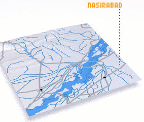 Places with similar names to Nasīrābād, Pakistan ::
Disclaimer :: Information on this page comes without warranty of any kind |
||
|
Where is Nasīrābād? Elevation and coordinates ::
Latitude (lat): 28°18'20"N Longitude (lon): 69°56'50"E
Elevation (approx.): 76m (map arrows pan, magnifying glasses zoom) |
||
|
Visiting Nasīrābād? Hotel/Accommodation ::
Book a hotel in Nasīrābād Travel Guide ::
Buy a travel guide for Pakistan rental cars ::
car rental offers GPS waypoint ::
download a GPX waypoint (PoI) of Nasīrābād for your GPS receiver
|
||