|
search place name
|
||
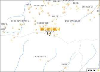
Nāsir Bāgh (Balochistān, Pakistan)Nāsir Bāgh is a town in the Balochistān region of Pakistan. An overview map of the region around Nāsir Bāgh is displayed below.
regional and 3d topo map of Nāsir Bāgh, Pakistan ::
Nāsir Bāgh airports ::
The nearest airport is UET - Quetta, located 78.8 km south of Nāsir Bāgh.
Other airports nearby include KDH - Kandahar (111.1 km north west), Nearby towns ::
Chat Kach (0.7km north) //
Khudādād (1.4km east) //
Gwāl Bāgh (2.3km east) //
Akram Kach (3.6km north west) //
Maz Kach (4.3km north) //
Meoak Bāgh (4.3km north west) //
Timarguli Bāgh (4.3km west) //
Shāniu Bāgh (4.9km north) //
Saudād Bāgh (4.8km north west) //
Fazal (5.7km north) //
Māku Kach (5.2km north west) //
Tlerai (6.5km north) //
Atar Kach (6.6km north west) //
Siwrai Chīna (7.9km north) //
Orakzai Zrandah (7.4km north west) //
Umed Kach (8.6km north) //
Hadīra Kach (8.9km north) //
Adozo Zrandah (8.7km north west) //
Hāji Tawāno (9.2km north) //
Hindu Narai (9.2km south) //
Aghbarg Maghzai (8.6km north east) //
Baiān (9.7km north east) //
[all distances 'as the bird flies' and approximate] 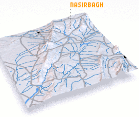 Places with similar names to Nāsir Bāgh, Pakistan ::
// Nazar Bāgh (PK)
Disclaimer :: Information on this page comes without warranty of any kind |
||
|
Where is Nāsir Bāgh? Elevation and coordinates ::
Latitude (lat): 30°57'19"N Longitude (lon): 66°49'18"E
Elevation (approx.): 2247m (map arrows pan, magnifying glasses zoom) |
||
|
Visiting Nāsir Bāgh? Hotel/Accommodation ::
Book a hotel in Nāsir Bāgh Travel Guide ::
Buy a travel guide for Pakistan rental cars ::
car rental offers GPS waypoint ::
download a GPX waypoint (PoI) of Nāsir Bāgh for your GPS receiver
|
||