|
search place name
|
||
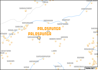
Palos Punga (Federally Administered Tribal Areas, Pakistan)Palos Punga is a town in the Federally Administered Tribal Areas region of Pakistan. An overview map of the region around Palos Punga is displayed below.
regional and 3d topo map of Palos Punga, Pakistan ::
Palos Punga airports ::
The nearest airport is PZH - Zhob, located 162.3 km south west of Palos Punga.
Other airports nearby include PEW - Peshawar Intl (190.4 km north east), JAA - Jalalabad (192.4 km north), KBL - Kabul Intl (227.7 km north west), Nearby towns ::
Tor Rāghza (2.7km north east) //
Bōbar Ziārat (3.3km south east) //
Palos Punga (3.6km south west) //
Dodakai (3.8km north east) //
Dingolai (4.1km south west) //
Mandawām (4.6km north) //
Karga Khulla (4.9km south east) //
Tsapparai (5.4km south east) //
Warona (5.2km east) //
Sara Tangai (5.5km north east) //
Sar Khonai (5.6km west) //
Lwari (7.1km south) //
Arap Kot (7.4km north east) //
Sargarīwām (7.9km north west) //
Trikhtalai (7.9km north west) //
Bazkas (8.3km north west) //
[all distances 'as the bird flies' and approximate] 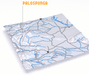 Places with similar names to Palos Punga, Pakistan ::
Disclaimer :: Information on this page comes without warranty of any kind |
||
|
Where is Palos Punga? Elevation and coordinates ::
Latitude (lat): 32°41'2"N Longitude (lon): 70°11'36"E
Elevation (approx.): 1310m (map arrows pan, magnifying glasses zoom) |
||
|
Visiting Palos Punga? Hotel/Accommodation ::
Book a hotel in Palos Punga Travel Guide ::
Buy a travel guide for Pakistan rental cars ::
car rental offers GPS waypoint ::
download a GPX waypoint (PoI) of Palos Punga for your GPS receiver
|
||