|
search place name
|
||
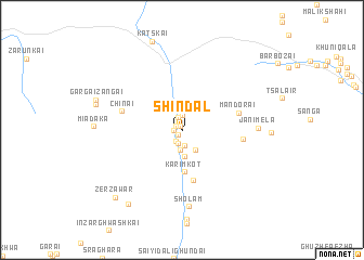
Shindal (Federally Administered Tribal Areas, Pakistan)Shindal is a town in the Federally Administered Tribal Areas region of Pakistan. An overview map of the region around Shindal is displayed below.
regional and 3d topo map of Shindal, Pakistan ::
Shindal airports ::
The nearest airport is PZH - Zhob, located 119.2 km south of Shindal.
Other airports nearby include JAA - Jalalabad (238.1 km north east), Nearby towns ::
Pishai (0.4km north) //
Ajīm Khān (0.7km south west) //
Khojal Khel (0.7km north west) //
Sardār (0.8km west) //
Zarmahīn (1.3km south) //
Rakhīm (1.4km north) //
Janai (1.5km south) //
Said Muhammad (1.5km south) //
Bay Gul (1.5km north) //
Amīn Shāh (2.0km south) //
Sāghari (2.4km south east) //
Aghzaikas (2.8km south) //
Karīm Kot (4.3km south) //
Wuchoba (5.3km south) //
Mandorai (5.2km east) //
Ziābai (5.4km east) //
Chīnai (5.5km west) //
Jānīmela (6.5km east) //
Sholam (7.9km south) //
Nashtargai (7.9km west) //
Gargai Zangai (8.0km north west) //
Zer Zāwar (9.0km south west) //
Zer Zāwar (9.1km south west) //
[all distances 'as the bird flies' and approximate] 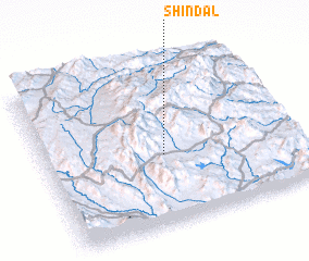 Places with similar names to Shindal, Pakistan ::
Disclaimer :: Information on this page comes without warranty of any kind |
||
|
Where is Shindal? Elevation and coordinates ::
Latitude (lat): 32°25'59"N Longitude (lon): 69°28'24"E
Elevation (approx.): 1906m (map arrows pan, magnifying glasses zoom) |
||
|
Visiting Shindal? Hotel/Accommodation ::
Book a hotel in Shindal Travel Guide ::
Buy a travel guide for Pakistan rental cars ::
car rental offers GPS waypoint ::
download a GPX waypoint (PoI) of Shindal for your GPS receiver
|
||