|
search place name
|
||
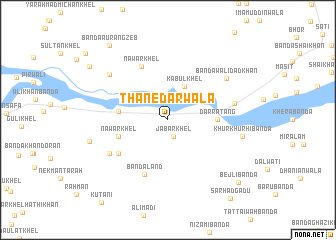
Thānedārwāla (North-West Frontier, Pakistan)Thānedārwāla is a town in the North-West Frontier region of Pakistan. An overview map of the region around Thānedārwāla is displayed below.
regional and 3d topo map of Thānedārwāla, Pakistan ::
Thānedārwāla airports ::
The nearest airport is PEW - Peshawar Intl, located 159.0 km north of Thānedārwāla.
Other airports nearby include JAA - Jalalabad (207.7 km north), PZH - Zhob (208.2 km south west), ISB - Islamabad Chaklala (216.7 km north east), LYP - Faisalabad Intl (224.2 km south east), Nearby towns ::
Bānda Thānedār (0.9km north) //
Jabār Khel (1.9km south) //
Kabul Khel (4.0km north east) //
Darra Tang (4.7km east) //
Kundal Chauki (4.8km west) //
Nawār Khel (5.0km west) //
Bānda Land (6.5km south) //
Fateh Khān Jattān (6.0km south west) //
Nawār Khel (6.5km north west) //
Fateh Khān (6.6km south west) //
Rahmatewāla (6.5km east) //
Bānda Walīdād Khān (7.2km north east) //
Bānda Fatu (7.5km north west) //
Khurkhurhi Bānda (7.3km east) //
Arsala Khān (7.8km west) //
Bejli Bānda (9.6km south east) //
Bānda Aurangzeb (10.0km north west) //
Ālam Shāh Khel (9.6km north west) //
Sarhad Gadu (10.6km south east) //
[all distances 'as the bird flies' and approximate] 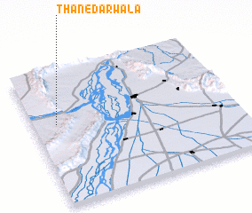 Places with similar names to Thānedārwāla, Pakistan ::
// Thānedārwāla (PK)
Disclaimer :: Information on this page comes without warranty of any kind |
||
|
Where is Thānedārwāla? Elevation and coordinates ::
Latitude (lat): 32°36'0"N Longitude (lon): 71°7'0"E
Elevation (approx.): 231m (map arrows pan, magnifying glasses zoom) |
||
|
Visiting Thānedārwāla? Hotel/Accommodation ::
Book a hotel in Thānedārwāla Travel Guide ::
Buy a travel guide for Pakistan rental cars ::
car rental offers GPS waypoint ::
download a GPX waypoint (PoI) of Thānedārwāla for your GPS receiver
|
||