|
search place name
|
||
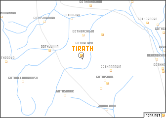
Tirath (Sind, Pakistan)Tirath is a town in the Sind region of Pakistan. An overview map of the region around Tirath is displayed below.
regional and 3d topo map of Tirath, Pakistan ::
Tirath airports ::
The nearest airport is KHI - Karachi Jinnah Intl, located 93.7 km south west of Tirath.
Other airports nearby include WNS - Nawabshah (98.5 km north east), BDN - Talhar (146.0 km south east), MJD - Moenjodaro (196.2 km north), Nearby towns ::
Goth Lallo (2.2km north east) //
Goth Plāro (2.8km north) //
Goth Bachejo (5.5km north) //
Goth Parādin (6.2km south east) //
Goth Ismāīl (6.7km south east) //
Goth Ali Bakhsh (6.8km north east) //
Goth Dādu (7.6km south east) //
Goth Jumma (7.1km west) //
Achār (7.5km south east) //
Goth Sumār (9.0km south west) //
Goth Shāhdād (11.6km north west) //
[all distances 'as the bird flies' and approximate] 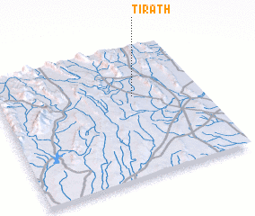 Places with similar names to Tirath, Pakistan ::
Disclaimer :: Information on this page comes without warranty of any kind |
||
|
Where is Tirath? Elevation and coordinates ::
Latitude (lat): 25°37'0"N Longitude (lon): 67°40'0"E
Elevation (approx.): 232m (map arrows pan, magnifying glasses zoom) |
||
|
Visiting Tirath? Hotel/Accommodation ::
Book a hotel in Tirath Travel Guide ::
Buy a travel guide for Pakistan rental cars ::
car rental offers GPS waypoint ::
download a GPX waypoint (PoI) of Tirath for your GPS receiver
|
||