|
search place name
|
||
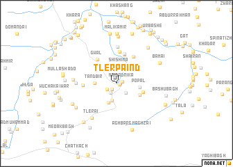
Tler Pāind (Balochistān, Pakistan)Tler Pāind is a town in the Balochistān region of Pakistan. An overview map of the region around Tler Pāind is displayed below.
regional and 3d topo map of Tler Pāind, Pakistan ::
Tler Pāind airports ::
The nearest airport is UET - Quetta, located 90.0 km south of Tler Pāind.
Other airports nearby include KDH - Kandahar (109.8 km north west), Nearby towns ::
Kazha (0.4km east) //
Ghārgai (0.5km east) //
Maidād Nīka (0.9km east) //
Tor Kach (1.1km south west) //
Shīn Hauz (1.6km south west) //
Torzai (1.7km south west) //
Shāhbor (2.0km south east) //
Shīshina (2.8km north) //
Rustam (2.9km south) //
Baiān (3.3km south) //
Tandbīr (3.0km west) //
Popal (3.2km east) //
Pāind (3.6km north east) //
Kārez (3.7km south east) //
Gulān Bāgh (4.0km east) //
Hissār (4.8km north) //
Gwāl (4.7km north west) //
Narai (4.9km north) //
Girdai (5.1km north) //
Tor Kach (4.9km north east) //
Jalezai (4.6km west) //
Anar (5.9km north) //
Girdai (5.6km west) //
Tlerai (6.5km south west) //
Prāng (6.0km west) //
Siwrai Chīna (6.8km south west) //
Hasan (7.6km north) //
Malik Fazal Muhammad (7.2km north east) //
Bāmai (6.8km north east) //
[all distances 'as the bird flies' and approximate] 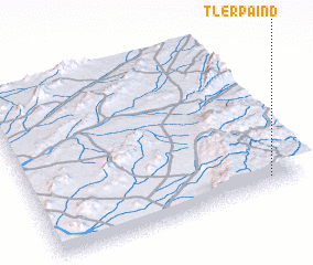 Places with similar names to Tler Pāind, Pakistan ::
// Dollar Point (US)
Disclaimer :: Information on this page comes without warranty of any kind |
||
|
Where is Tler Pāind? Elevation and coordinates ::
Latitude (lat): 31°3'40"N Longitude (lon): 66°52'40"E
Elevation (approx.): 2192m (map arrows pan, magnifying glasses zoom) |
||
|
Visiting Tler Pāind? Hotel/Accommodation ::
Book a hotel in Tler Pāind Travel Guide ::
Buy a travel guide for Pakistan rental cars ::
car rental offers GPS waypoint ::
download a GPX waypoint (PoI) of Tler Pāind for your GPS receiver
|
||