|
search place name
|
||
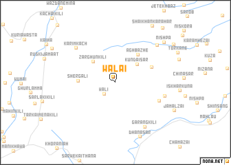
Wālai (Federally Administered Tribal Areas, Pakistan)Wālai is a town in the Federally Administered Tribal Areas region of Pakistan. An overview map of the region around Wālai is displayed below.
regional and 3d topo map of Wālai, Pakistan ::
Wālai airports ::
The nearest airport is PZH - Zhob, located 49.4 km west of Wālai.
Other airports nearby include MUX - Multan Intl (200.9 km south east), Nearby towns ::
Wali (2.4km south west) //
Kundai Sar (4.2km north east) //
Zarghūn Kili (4.6km north west) //
Aghbāzhe (5.5km north east) //
Shergali (5.2km west) //
Anmar Kalān (5.6km north east) //
Tang Walwāst (6.8km south east) //
Muhammadzai (7.2km east) //
Karīm Kach (7.8km north west) //
Garang Kili (8.3km south east) //
Nishwa (8.4km north east) //
Dhana Sar (9.5km south) //
Nishpa (9.4km north east) //
Karahai (11.0km north east) //
[all distances 'as the bird flies' and approximate] 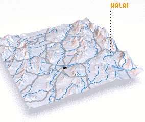 Places with similar names to Wālai, Pakistan ::
Disclaimer :: Information on this page comes without warranty of any kind |
||
|
Where is Wālai? Elevation and coordinates ::
Latitude (lat): 31°30'9"N Longitude (lon): 69°57'20"E
Elevation (approx.): 2091m (map arrows pan, magnifying glasses zoom) |
||
|
Visiting Wālai? Hotel/Accommodation ::
Book a hotel in Wālai Travel Guide ::
Buy a travel guide for Pakistan rental cars ::
car rental offers GPS waypoint ::
download a GPX waypoint (PoI) of Wālai for your GPS receiver
|
||