|
search place name
|
||
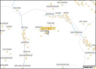
Wunboyi (Federally Administered Tribal Areas, Pakistan)Wunboyi is a town in the Federally Administered Tribal Areas region of Pakistan. An overview map of the region around Wunboyi is displayed below.
regional and 3d topo map of Wunboyi, Pakistan ::
Wunboyi airports ::
The nearest airport is PZH - Zhob, located 119.2 km south of Wunboyi.
Other airports nearby include JAA - Jalalabad (235.4 km north), PEW - Peshawar Intl (251.8 km north east), Nearby towns ::
Jānīmela (1.3km west) //
Ziābai (2.4km west) //
Tsalair (3.7km north) //
Mandorai (3.4km north west) //
Sanga (3.7km east) //
Shergha (6.8km north) //
Bar Bozai (7.1km north) //
Lar Boza Chīna (7.3km north) //
Sāghari (6.8km west) //
Mazuak (7.8km north east) //
Karam (8.2km north east) //
Spalepan (8.3km north east) //
Said Muhammad (7.6km west) //
Landai Nūr (8.2km north east) //
Aghzaikas (7.9km west) //
Wuchoba (8.4km south west) //
Karaingai (8.7km north east) //
Adā Punga (8.9km north east) //
Mohmit Khān Kot (8.6km north east) //
Mughal Khel (8.9km north east) //
Pīr Gul Kot (8.8km north east) //
Hathi Khel (9.1km north east) //
Bodīn (9.4km north east) //
Khūni Qala (9.6km north east) //
Sade Khel (9.4km north east) //
Wazai (9.7km north east) //
Sholam (10.3km south west) //
[all distances 'as the bird flies' and approximate] 
Disclaimer :: Information on this page comes without warranty of any kind |
||
|
Where is Wunboyi? Elevation and coordinates ::
Latitude (lat): 32°25'50"N Longitude (lon): 69°33'20"E
Elevation (approx.): 2217m (map arrows pan, magnifying glasses zoom) |
||
|
Visiting Wunboyi? Hotel/Accommodation ::
Book a hotel in Wunboyi Travel Guide ::
Buy a travel guide for Pakistan rental cars ::
car rental offers GPS waypoint ::
download a GPX waypoint (PoI) of Wunboyi for your GPS receiver
|
||