|
search place name
|
||
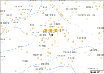
Zawarkai (Balochistān, Pakistan)Zawarkai is a town in the Balochistān region of Pakistan. An overview map of the region around Zawarkai is displayed below.
regional and 3d topo map of Zawarkai, Pakistan ::
Zawarkai airports ::
The nearest airport is UET - Quetta, located 67.6 km south west of Zawarkai.
Other airports nearby include KDH - Kandahar (167.8 km north west), Nearby towns ::
Shākh (0.5km west) //
Sogi Dargai (1.0km north west) //
Shākh (1.0km east) //
Khwāja Nika Ziārat (1.4km south west) //
Bangāra (1.8km south east) //
Nārīn (2.2km north east) //
Ghaz (2.5km south east) //
Jamkai (2.6km north) //
Gudān (2.9km south) //
Sādho Murghakai (2.9km south) //
Mach (2.7km south east) //
Walang (2.7km west) //
Tor Tangai (3.1km south west) //
Rāgha (3.3km west) //
Pshai (3.8km south east) //
Malak (4.0km north west) //
Aghbargai (3.7km east) //
Mazabi (4.2km north east) //
Jalak (4.4km south) //
Shāts (4.0km east) //
Spuna (4.6km north) //
Chorga (4.8km north) //
Shāts (4.2km east) //
Naghar (4.3km south west) //
Bedāra (4.8km north) //
Halkai (4.8km north east) //
Tlerai (5.2km south west) //
Abbās Khel (5.5km south) //
Spina Khezai (5.6km north) //
[all distances 'as the bird flies' and approximate] 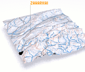 Places with similar names to Zawarkai, Pakistan ::
Disclaimer :: Information on this page comes without warranty of any kind |
||
|
Where is Zawarkai? Elevation and coordinates ::
Latitude (lat): 30°44'15"N Longitude (lon): 67°21'47"E
Elevation (approx.): 2120m (map arrows pan, magnifying glasses zoom) |
||
|
Visiting Zawarkai? Hotel/Accommodation ::
Book a hotel in Zawarkai Travel Guide ::
Buy a travel guide for Pakistan rental cars ::
car rental offers GPS waypoint ::
download a GPX waypoint (PoI) of Zawarkai for your GPS receiver
|
||