|
search place name
|
||
Santa Anita (El Paraíso, Honduras)Santa Anita is a town in the El Paraíso region of Honduras. An overview map of the region around Santa Anita is displayed below.
regional and 3d topo map of Santa Anita, Honduras ::

Santa Anita airports ::
The nearest airport is TGU - Tegucigalpa Toncontin Intl, located 39.7 km west of Santa Anita.
Other airports nearby include LCE - La Ceiba Goloson Intl (187.3 km north), SAP - San Pedro Sula La Mesa Intl (193.5 km north west), TEA - Tela (202.5 km north), MGA - Managua Intl (223.7 km south), Nearby towns ::
La Guadalupe (1.8km east) //
El Cacao (2.6km north west) //
El Capulín (2.6km north west) //
Guapinol (3.7km north) //
El Limonal (3.7km north) //
El Porvenir (3.7km north) //
Jollitas (3.6km west) //
El Ojo de Agua (3.6km west) //
Los Limones (4.1km north west) //
El Suyate (4.1km north west) //
La Pita (4.0km south west) //
El Ojo de Agua (5.6km north) //
El Zaracate (5.6km south) //
El Rancho (5.4km west) //
Loma de Enmedio (5.8km north) //
El Caracol (5.8km south) //
Los Tablones (6.6km north east) //
Dantas (6.6km south west) //
Los Pozos (7.4km north) //
Laínez (7.4km south) //
El Frijolar (7.6km south) //
Los Tablones (7.6km south) //
Morocelí (7.6km north) //
El Guayabo (7.6km south) //
El Pataste (7.6km south) //
El Higuerito (7.7km north east) //
El Chagüite Oriente (7.7km south east) //
Jagüitas (8.1km north west) //
Los Encuentros (8.2km north west) //
[all distances 'as the bird flies' and approximate] 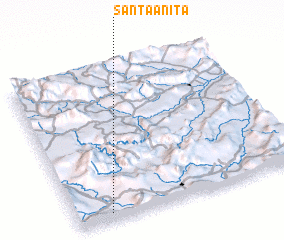 Places with similar names to Santa Anita, Honduras ::
// Santa Anita (BR)
// Santa Anita (US)
// San Donato (IT)
// San Donato (IT)
// San Donato (IT)
// San Donato (IT)
// San Donato (IT)
// San Donato (IT)
// San Donato (IT)
// San Donato (IT)
Disclaimer :: Information on this page comes without warranty of any kind |
||
|
Where is Santa Anita? Elevation and coordinates ::
Latitude (lat): 14°3'0"N Longitude (lon): 86°51'0"W
Elevation (approx.): 601m (map arrows pan, magnifying glasses zoom) |
||
|
Visiting Santa Anita? Hotel/Accommodation ::
Book a hotel in Santa Anita Travel Guide ::
Buy a travel guide for Honduras rental cars ::
car rental offers GPS waypoint ::
download a GPX waypoint (PoI) of Santa Anita for your GPS receiver
|
||