|
search place name
|
||
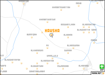
Ḩawshā (Jordan)Ḩawshā is a town in Jordan. An overview map of the region around Ḩawshā is displayed below.
regional and 3d topo map of Ḩawshā, Jordan ::
Ḩawshā airports ::
The nearest airport is OMF - Mafraq King Hussein, located 18.2 km south east of Ḩawshā.
Other airports nearby include ADJ - Amman Marka Intl (53.9 km south), RPN - Rosh Pina Mahanaim I Ben Yaakov (76.9 km north west), AMM - Amman Queen Alia Intl (81.3 km south), HFA - Haifa (106.9 km west), Nearby towns ::
Al Buwayḑah (3.6km north west) //
Fā‘ (4.0km south west) //
Al Ḩamrāʼ (4.7km east) //
Khirbat Ukaydir (5.8km north) //
As Suwaylimah (6.0km north east) //
Burayqah (6.3km west) //
Umm al Luʼluʼ (7.4km south) //
Şurrah (7.3km south east) //
Al Khanāşirī (7.3km south west) //
Al Manşūrah (7.3km south east) //
[all distances 'as the bird flies' and approximate] 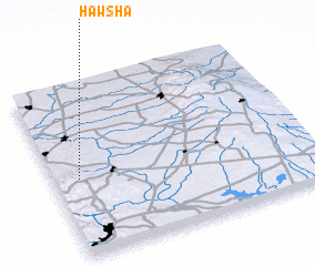 Places with similar names to Ḩawshā, Jordan ::
Disclaimer :: Information on this page comes without warranty of any kind |
||
|
Where is Ḩawshā? Elevation and coordinates ::
Latitude (lat): 32°27'0"N Longitude (lon): 36°6'0"E
Elevation (approx.): 721m (map arrows pan, magnifying glasses zoom) |
||
|
Visiting Ḩawshā? Hotel/Accommodation ::
Book a hotel in Ḩawshā Travel Guide ::
Buy a travel guide for Jordan rental cars ::
car rental offers GPS waypoint ::
download a GPX waypoint (PoI) of Ḩawshā for your GPS receiver
|
||