|
search place name
|
||
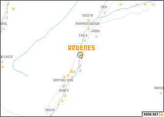
Ardenes (Arequipa, Peru)Ardenes is a town in the Arequipa region of Peru. An overview map of the region around Ardenes is displayed below.
regional and 3d topo map of Ardenes, Peru ::
Ardenes airports ::
The nearest airport is ANS - Andahuaylas, located 236.1 km north east of Ardenes.
Other airports nearby include PIO - Pisco Intl (274.9 km north west), Nearby towns ::
Mochica (1.5km south) //
Chicchilla (1.8km north) //
Casa Blanca (2.1km south) //
Lampilla (2.8km south) //
Vado Viejo (3.2km north) //
Santa Rosa (3.5km south west) //
Santa Genoveva (3.6km south west) //
Hacienda San Pablo (3.9km south west) //
Chile (4.2km north) //
San Pablo (4.8km south west) //
San José (5.0km south west) //
Chipchipa (5.8km south west) //
Jaquí (6.0km north east) //
Pampa Redonda (7.0km north) //
Santa Elena (7.3km south west) //
Hacienda Santa Emilia (7.5km south west) //
Tocota (8.9km north) //
Buena Vista (8.9km north) //
Usaca (9.2km south west) //
[all distances 'as the bird flies' and approximate] 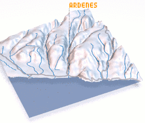 Places with similar names to Ardenes, Peru ::
Disclaimer :: Information on this page comes without warranty of any kind |
||
|
Where is Ardenes? Elevation and coordinates ::
Latitude (lat): 15°32'44"S Longitude (lon): 74°27'45"W
Elevation (approx.): 153m (map arrows pan, magnifying glasses zoom) |
||
|
Visiting Ardenes? Hotel/Accommodation ::
Book a hotel in Ardenes Travel Guide ::
Buy a travel guide for Peru rental cars ::
car rental offers GPS waypoint ::
download a GPX waypoint (PoI) of Ardenes for your GPS receiver
|
||