|
search place name
|
||
Chiachipata (Junín, Peru)Chiachipata is a town in the Junín region of Peru. An overview map of the region around Chiachipata is displayed below.
regional and 3d topo map of Chiachipata, Peru ::

Chiachipata airports ::
The nearest airport is LIM - Lima Jorge Chavez Intl, located 191.7 km south west of Chiachipata.
Nearby towns ::
Acsuchacra (0.8km north) //
Lomahuay (1.1km north east) //
Pataucco (5.9km north) //
San Antonio (6.1km north) //
Aycronmarca (6.3km north) //
Putaca (6.9km south east) //
Ubernia (7.5km north east) //
Llamashahuana (7.9km south east) //
Cotosh (7.9km south west) //
Pucará (8.2km west) //
Huancuypata (8.8km south west) //
Ocshiacoto (9.0km south west) //
San Isidro (9.4km south west) //
Callpa (9.8km south west) //
Cayapozo (9.8km south west) //
Tranca (9.9km south west) //
Patahuasi (10.0km south west) //
Paucarmarca (10.2km south west) //
[all distances 'as the bird flies' and approximate] 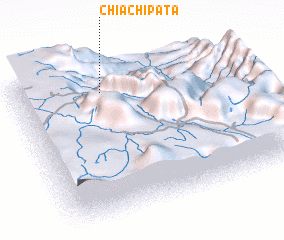 Places with similar names to Chiachipata, Peru ::
// Chichipate (GT)
// Chichipate (GT)
// Chichipate (HN)
// Chaucha Pata (PE)
// Chichipata (PE)
// Chitiapata (PE)
// Shchepet (RU)
Disclaimer :: Information on this page comes without warranty of any kind |
||
|
Where is Chiachipata? Elevation and coordinates ::
Latitude (lat): 11°9'5"S Longitude (lon): 75°35'41"W
Elevation (approx.): 3658m (map arrows pan, magnifying glasses zoom) |
||
|
Visiting Chiachipata? Hotel/Accommodation ::
Book a hotel in Chiachipata Travel Guide ::
Buy a travel guide for Peru rental cars ::
car rental offers GPS waypoint ::
download a GPX waypoint (PoI) of Chiachipata for your GPS receiver
|
||