|
search place name
|
||
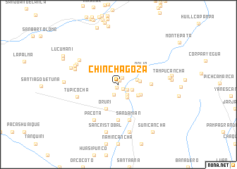
Chinchagoza (Lima, Peru)Chinchagoza is a town in the Lima region of Peru. An overview map of the region around Chinchagoza is displayed below.
regional and 3d topo map of Chinchagoza, Peru ::
Chinchagoza airports ::
The nearest airport is LIM - Lima Jorge Chavez Intl, located 76.2 km west of Chinchagoza.
Other airports nearby include PIO - Pisco Intl (196.2 km south), Nearby towns ::
Chinchagoza Antigua (0.6km north) //
Urun (0.6km south west) //
Huaguina (1.0km south east) //
San Miguel de Characuayqui (1.2km north east) //
Talgasica (1.6km south east) //
Yanacri (1.8km south west) //
Malaipurico (2.1km south east) //
Quilquichaca (2.2km east) //
Niquita (2.5km south east) //
Oquida (3.0km east) //
Taucata (3.3km east) //
Huechícona (3.5km south east) //
Llaquistambo (3.8km south east) //
Oruri (4.3km south west) //
Ralia (4.3km north east) //
Cunchupungo (5.1km east) //
Peña Blanca (5.7km south) //
San Damián (5.9km south) //
Pacota (6.8km south west) //
Cullque (6.8km south west) //
Tupicocha (6.7km west) //
Llanahuanchi (7.1km west) //
Llamcha (7.2km north west) //
Chinchina (7.3km north west) //
Perqueshica (7.4km north west) //
Conchasica (7.7km south) //
Colquihuanca (7.8km south) //
San Cristóbal (7.8km south) //
Malcanchi (7.8km west) //
[all distances 'as the bird flies' and approximate] 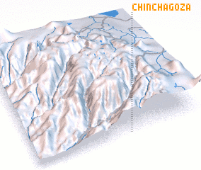 Places with similar names to Chinchagoza, Peru :: Disclaimer :: Information on this page comes without warranty of any kind |
||
|
Where is Chinchagoza? Elevation and coordinates ::
Latitude (lat): 11°58'56"S Longitude (lon): 76°24'57"W
Elevation (approx.): 3913m (map arrows pan, magnifying glasses zoom) |
||
|
Visiting Chinchagoza? Hotel/Accommodation ::
Book a hotel in Chinchagoza Travel Guide ::
Buy a travel guide for Peru rental cars ::
car rental offers GPS waypoint ::
download a GPX waypoint (PoI) of Chinchagoza for your GPS receiver
|
||