|
search place name
|
||
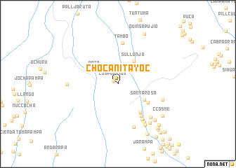
Chocanitayoc (Arequipa, Peru)Chocanitayoc is a town in the Arequipa region of Peru. An overview map of the region around Chocanitayoc is displayed below.
regional and 3d topo map of Chocanitayoc, Peru ::
Chocanitayoc airports ::
The nearest airport is AQP - Arequipa Rodriguez Ballon, located 134.9 km south east of Chocanitayoc.
Nearby towns ::
Los Puquios (0.8km north west) //
Rata (4.2km north west) //
Sullunja (4.4km north east) //
Buena Vista (4.7km north east) //
Santa Rosa (4.7km south east) //
La Rinconada (5.4km south east) //
Bodegayoc (5.7km south east) //
Pampa Chacra (6.1km south east) //
Tambo (6.6km north) //
Huanso (6.8km south east) //
Quelkasca (7.2km south) //
Acocra (7.2km south east) //
Carmen Alto (7.2km south east) //
Itac (7.3km east) //
Ayahuala (7.7km south east) //
Tocyanca (7.9km south east) //
Apacheta de Jaisura (7.8km west) //
Chiringay (8.1km south east) //
Ccosme (8.5km south east) //
Quinsapujio (8.9km north east) //
Chuquibamba (9.1km south east) //
Sihuan (9.1km south east) //
Huma Sana (9.2km south east) //
Buena Vista (9.6km south east) //
Huarcao (10.1km south east) //
Cruz Pampa (10.3km south east) //
Cuyay (10.4km south east) //
Casconsa (11.2km south east) //
Tuhuana (11.8km south east) //
[all distances 'as the bird flies' and approximate] 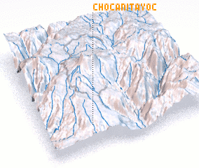 Places with similar names to Chocanitayoc, Peru :: Disclaimer :: Information on this page comes without warranty of any kind |
||
|
Where is Chocanitayoc? Elevation and coordinates ::
Latitude (lat): 15°45'58"S Longitude (lon): 72°41'42"W
Elevation (approx.): 3803m (map arrows pan, magnifying glasses zoom) |
||
|
Visiting Chocanitayoc? Hotel/Accommodation ::
Book a hotel in Chocanitayoc Travel Guide ::
Buy a travel guide for Peru rental cars ::
car rental offers GPS waypoint ::
download a GPX waypoint (PoI) of Chocanitayoc for your GPS receiver
|
||