|
search place name
|
||
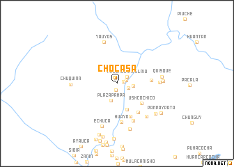
Chocasa (Lima, Peru)Chocasa is a town in the Lima region of Peru. An overview map of the region around Chocasa is displayed below.
regional and 3d topo map of Chocasa, Peru ::
Chocasa airports ::
The nearest airport is LIM - Lima Jorge Chavez Intl, located 139.5 km north west of Chocasa.
Other airports nearby include PIO - Pisco Intl (140.2 km south), AYP - Ayacucho Coronel Fap Alfredo Mendivil Duarte (200.6 km east), Nearby towns ::
Tano (1.1km south) //
Quichualla (1.1km east) //
Quiscay (1.5km east) //
Magdalena del Río (1.9km north east) //
Caullama (1.9km south east) //
Sibia (2.6km east) //
Plazapampa (2.9km south) //
Hacienda Yaca (4.5km south) //
Ushco Chico (5.0km south east) //
Pillquine (5.5km east) //
Neniso (5.7km south) //
Ushco Grande (5.7km south east) //
Huayo (6.3km south) //
Cusi (6.5km south east) //
Cacachi (6.7km east) //
Yauyos (6.9km north) //
Queroquero (7.1km south east) //
Quisque (7.1km east) //
Echuca (7.3km south) //
Chuquina (7.3km west) //
Manra (7.3km east) //
Cauchuma (7.6km south) //
Huyzapampa (7.8km south east) //
Pampaypata (8.3km south east) //
Auco (8.6km south) //
Puente Auco (8.8km south) //
Huauchac (8.9km south) //
[all distances 'as the bird flies' and approximate] 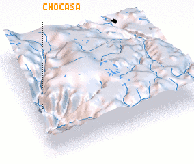 Places with similar names to Chocasa, Peru ::
Disclaimer :: Information on this page comes without warranty of any kind |
||
|
Where is Chocasa? Elevation and coordinates ::
Latitude (lat): 12°30'34"S Longitude (lon): 75°55'54"W
Elevation (approx.): 3057m (map arrows pan, magnifying glasses zoom) |
||
|
Visiting Chocasa? Hotel/Accommodation ::
Book a hotel in Chocasa Travel Guide ::
Buy a travel guide for Peru rental cars ::
car rental offers GPS waypoint ::
download a GPX waypoint (PoI) of Chocasa for your GPS receiver
|
||