|
search place name
|
||
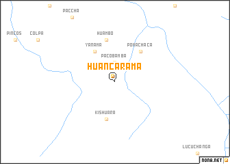
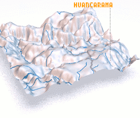
Huancarama (Apurímac, Peru)Huancarama is a town in the Apurímac region of Peru. An overview map of the region around Huancarama is displayed below.
regional and 3d topo map of Huancarama, Peru ::
Huancarama airports ::
The nearest airport is ANS - Andahuaylas, located 29.2 km west of Huancarama.
Other airports nearby include CUZ - Cuzco Teniente Alejandro Velasco Astete Intl (124.9 km east), AYP - Ayacucho Coronel Fap Alfredo Mendivil Duarte (132.6 km north west), Nearby towns ::
 Places with similar names to Huancarama, Peru ::
// Han Kram (BA)
// Hangrum (IN)
// Huancarama (PE)
// Huancarama (PE)
// Huancarumi (PE)
// Huancarama (BO)
// Huancarama (BO)
// Huancarami (BO)
Disclaimer :: Information on this page comes without warranty of any kind |
||
|
Where is Huancarama? Elevation and coordinates ::
Latitude (lat): 13°38'42"S Longitude (lon): 73°5'15"W
Elevation (approx.): 2997m (map arrows pan, magnifying glasses zoom) |
||
|
Visiting Huancarama? Hotel/Accommodation ::
Book a hotel in Huancarama Travel Guide ::
Buy a travel guide for Peru rental cars ::
car rental offers GPS waypoint ::
download a GPX waypoint (PoI) of Huancarama for your GPS receiver
|
||