|
search place name
|
||
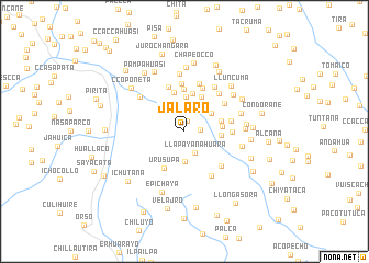
Jalaro (Arequipa, Peru)Jalaro is a town in the Arequipa region of Peru. An overview map of the region around Jalaro is displayed below.
regional and 3d topo map of Jalaro, Peru ::
Jalaro airports ::
The nearest airport is AQP - Arequipa Rodriguez Ballon, located 88.7 km south of Jalaro.
Other airports nearby include JUL - Juliaca (128.0 km east), Nearby towns ::
Huatani (1.1km north) //
Huilluma (1.6km east) //
Llapayanahuara (2.4km south east) //
Ccanasata (2.8km north west) //
Actapata (3.0km south) //
Ccaccapunco (3.3km north east) //
Ayapata (3.5km north) //
Ccalaccala (3.6km east) //
Murutaña (3.9km north) //
Combate (3.8km east) //
Soccoña (3.9km north east) //
Amayamaya (3.8km east) //
Yanaccacca (4.0km north) //
Pucara (4.3km north) //
Urusupa (4.2km south west) //
Quisine (4.8km north) //
Accontaña (4.8km north) //
Cuchuhuiri (4.7km east) //
Jayune (4.7km east) //
Ccotaña (4.9km north) //
Quisine (4.9km north east) //
Paccopampa (5.0km north) //
Chucllacucho (5.1km south east) //
Ccasahuasi (5.1km north east) //
Vacas (5.3km south east) //
Chullo (5.4km north east) //
Anac Ccoponeta (5.6km north west) //
Huasaccotaña (5.9km north) //
Condoroma (5.8km east) //
[all distances 'as the bird flies' and approximate] 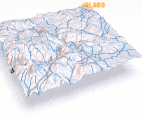 Places with similar names to Jalaro, Peru ::
Disclaimer :: Information on this page comes without warranty of any kind |
||
|
Where is Jalaro? Elevation and coordinates ::
Latitude (lat): 15°34'24"S Longitude (lon): 71°20'46"W
Elevation (approx.): 4237m (map arrows pan, magnifying glasses zoom) |
||
|
Visiting Jalaro? Hotel/Accommodation ::
Book a hotel in Jalaro Travel Guide ::
Buy a travel guide for Peru rental cars ::
car rental offers GPS waypoint ::
download a GPX waypoint (PoI) of Jalaro for your GPS receiver
|
||