|
search place name
|
||
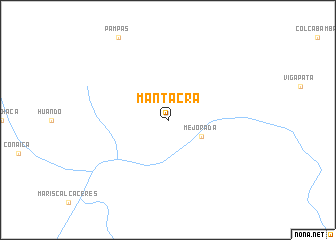
Mantacra (Huancavelica, Peru)Mantacra is a town in the Huancavelica region of Peru. An overview map of the region around Mantacra is displayed below.
regional and 3d topo map of Mantacra, Peru ::
Mantacra airports ::
The nearest airport is AYP - Ayacucho Coronel Fap Alfredo Mendivil Duarte, located 102.1 km south east of Mantacra.
Other airports nearby include PIO - Pisco Intl (203.9 km south west), ANS - Andahuaylas (211.6 km south east), Nearby towns ::
Mejorada (4.1km south east) //
[all distances 'as the bird flies' and approximate] 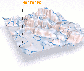 Places with similar names to Mantacra, Peru ::
// Mount Carrie (US)
// Mendigorría (ES)
// Maynatkhyr (RU)
// Mount Cory (US)
// Mantequera (CO)
// Mantequera (CO)
// Montecaro (CO)
// Mantakaro (SD)
// Mundkaro (PK)
// Montagarro (CV)
Disclaimer :: Information on this page comes without warranty of any kind |
||
|
Where is Mantacra? Elevation and coordinates ::
Latitude (lat): 12°29'0"S Longitude (lon): 74°51'0"W
Elevation (approx.): 3251m (map arrows pan, magnifying glasses zoom) |
||
|
Visiting Mantacra? Hotel/Accommodation ::
Book a hotel in Mantacra Travel Guide ::
Buy a travel guide for Peru rental cars ::
car rental offers GPS waypoint ::
download a GPX waypoint (PoI) of Mantacra for your GPS receiver
|
||