|
search place name
|
||
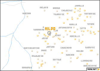
Milpo (Ayacucho, Peru)Milpo is a town in the Ayacucho region of Peru. An overview map of the region around Milpo is displayed below.
regional and 3d topo map of Milpo, Peru ::
Milpo airports ::
The nearest airport is ANS - Andahuaylas, located 78.5 km north east of Milpo.
Other airports nearby include AYP - Ayacucho Coronel Fap Alfredo Mendivil Duarte (107.7 km north), Nearby towns ::
Jinbue Pampa (0.5km west) //
Chaupi Huasi (0.9km south west) //
Cruz Huasi (1.2km south east) //
Chihuri (1.5km east) //
Jullurmana (1.6km west) //
Pampana (2.2km north west) //
Eranja (2.2km west) //
Tama (2.3km east) //
Jocha (2.7km south west) //
Manco Joniche (3.2km south) //
Uchuy (3.2km east) //
Illapata (3.5km south east) //
Morocolla (3.8km east) //
Tunapampa (4.1km west) //
Mucha Pampa (4.5km west) //
Janjana (5.0km east) //
Pincocalla (5.0km south east) //
Jantune (5.4km south) //
Chacachimpa (5.4km south east) //
Jatum Huerta (5.9km east) //
Huaija Huaijo (6.2km east) //
Asquipata (6.9km north east) //
Paire (7.0km south) //
Condorjojo (7.4km east) //
Tojaruyoc (7.6km north east) //
Chillanjay (7.7km south west) //
Hacienda Pampa (7.9km south east) //
Chuschama (8.3km south east) //
Huaycahuaycho (8.7km south west) //
[all distances 'as the bird flies' and approximate] 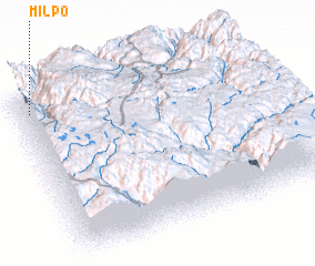 Places with similar names to Milpo, Peru ::
Disclaimer :: Information on this page comes without warranty of any kind |
||
|
Where is Milpo? Elevation and coordinates ::
Latitude (lat): 14°5'52"S Longitude (lon): 73°57'23"W
Elevation (approx.): 3333m (map arrows pan, magnifying glasses zoom) |
||
|
Visiting Milpo? Hotel/Accommodation ::
Book a hotel in Milpo Travel Guide ::
Buy a travel guide for Peru rental cars ::
car rental offers GPS waypoint ::
download a GPX waypoint (PoI) of Milpo for your GPS receiver
|
||