|
search place name
|
||
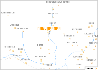
Naguapampa (Ayacucho, Peru)Naguapampa is a town in the Ayacucho region of Peru. An overview map of the region around Naguapampa is displayed below.
regional and 3d topo map of Naguapampa, Peru ::
Naguapampa airports ::
The nearest airport is ANS - Andahuaylas, located 161.5 km north of Naguapampa.
Other airports nearby include AQP - Arequipa Rodriguez Ballon (229.4 km south east), CUZ - Cuzco Teniente Alejandro Velasco Astete Intl (235.9 km north east), Nearby towns ::
Nagua (1.6km north) //
Marcabamba (1.9km north) //
Lampa (2.0km south) //
Vilcar (3.7km north east) //
San Sebastián de Sacraca (5.5km south) //
Colta (5.7km east) //
Iructa (5.8km south west) //
Ñuyoorcco (7.1km south) //
Sequello (7.1km north) //
Pomacocha (8.0km east) //
[all distances 'as the bird flies' and approximate] 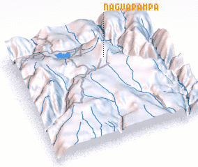 Places with similar names to Naguapampa, Peru :: Disclaimer :: Information on this page comes without warranty of any kind |
||
|
Where is Naguapampa? Elevation and coordinates ::
Latitude (lat): 15°9'59"S Longitude (lon): 73°20'51"W
Elevation (approx.): 2649m (map arrows pan, magnifying glasses zoom) |
||
|
Visiting Naguapampa? Hotel/Accommodation ::
Book a hotel in Naguapampa Travel Guide ::
Buy a travel guide for Peru rental cars ::
car rental offers GPS waypoint ::
download a GPX waypoint (PoI) of Naguapampa for your GPS receiver
|
||