|
search place name
|
||
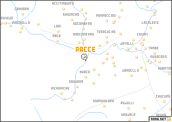
Pacce (Arequipa, Peru)Pacce is a town in the Arequipa region of Peru. An overview map of the region around Pacce is displayed below.
regional and 3d topo map of Pacce, Peru ::
Pacce airports ::
The nearest airport is AQP - Arequipa Rodriguez Ballon, located 74.4 km south of Pacce.
Other airports nearby include JUL - Juliaca (168.5 km east), ANS - Andahuaylas (280.7 km north west), Nearby towns ::
Callanja (2.5km south east) //
Achoma (2.6km north east) //
Huaco (3.6km south) //
Churquina (3.6km east) //
Utunco (3.9km south east) //
Huaytane (4.1km north) //
Soccaro (4.3km north) //
Puca Mocco (4.3km east) //
Ichupampa (4.5km north east) //
Marca Pampa (4.7km north) //
Sueterapa Pata (4.8km east) //
Queñuarane (5.1km south) //
Senja Pata (5.6km east) //
Sahuana (5.9km south) //
El Molino (5.7km east) //
Hupana (6.1km north east) //
Cullujane (6.1km east) //
Tera Cucho (6.8km north east) //
Humajala (6.9km south east) //
Soca Pampa (7.2km north) //
Yanque (7.0km north east) //
Huituhuasi (7.2km south) //
Maca (7.4km north west) //
Lari (8.8km north west) //
Hichuhichu (8.9km south west) //
Visconoja (9.0km south) //
Coporaque (9.4km north east) //
Hornillo (9.5km south west) //
Jeljata (10.2km north east) //
[all distances 'as the bird flies' and approximate] 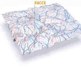 Places with similar names to Pacce, Peru ::
Disclaimer :: Information on this page comes without warranty of any kind |
||
|
Where is Pacce? Elevation and coordinates ::
Latitude (lat): 15°40'51"S Longitude (lon): 71°42'50"W
Elevation (approx.): 3812m (map arrows pan, magnifying glasses zoom) |
||
|
Visiting Pacce? Hotel/Accommodation ::
Book a hotel in Pacce Travel Guide ::
Buy a travel guide for Peru rental cars ::
car rental offers GPS waypoint ::
download a GPX waypoint (PoI) of Pacce for your GPS receiver
|
||