|
search place name
|
||
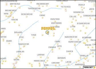
Pampas (Lima, Peru)Pampas is a town in the Lima region of Peru. An overview map of the region around Pampas is displayed below.
regional and 3d topo map of Pampas, Peru ::
Pampas airports ::
The nearest airport is LIM - Lima Jorge Chavez Intl, located 100.9 km south of Pampas.
Other airports nearby include ATA - Anta Comandante Fap German Arias Graziani (218.0 km north west), Nearby towns ::
Palcahuanca (2.2km east) //
Chaquicocha (2.2km west) //
Quilcatama (2.3km east) //
Ayanhuasi (2.4km north east) //
Shacshao (3.4km north east) //
Añaypampa (4.8km north east) //
Carac (5.2km south east) //
Puru Tama (5.7km north east) //
Tingo (5.6km west) //
Cararin (6.1km south) //
Yaguay (6.8km south) //
Carac (6.9km north) //
Coto (7.0km south east) //
Anta Huaca (7.8km east) //
Aguashuarco (9.0km north) //
Lampian (9.2km south) //
Iscaicancha (10.7km north west) //
Chunca (11.1km south east) //
[all distances 'as the bird flies' and approximate] 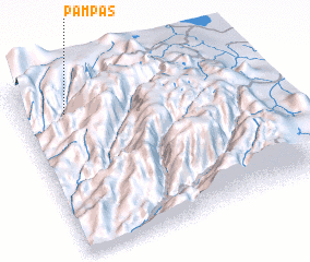 Places with similar names to Pampas, Peru ::
Disclaimer :: Information on this page comes without warranty of any kind |
||
|
Where is Pampas? Elevation and coordinates ::
Latitude (lat): 11°9'32"S Longitude (lon): 76°48'50"W
Elevation (approx.): 4195m (map arrows pan, magnifying glasses zoom) |
||
|
Visiting Pampas? Hotel/Accommodation ::
Book a hotel in Pampas Travel Guide ::
Buy a travel guide for Peru rental cars ::
car rental offers GPS waypoint ::
download a GPX waypoint (PoI) of Pampas for your GPS receiver
|
||