|
search place name
|
||
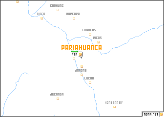
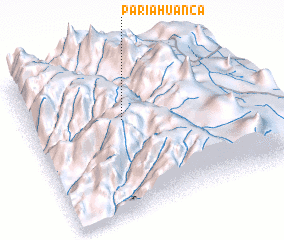
Pariahuanca (Ancash, Peru)Pariahuanca is a town in the Ancash region of Peru. An overview map of the region around Pariahuanca is displayed below.
regional and 3d topo map of Pariahuanca, Peru ::
Pariahuanca airports ::
The nearest airport is ATA - Anta Comandante Fap German Arias Graziani, located 2.7 km north west of Pariahuanca.
Other airports nearby include CHM - Chimbote Teniente Jaime A De Montreuil Morales (106.1 km west), TRU - Trujillo Capitan Carlos Martinez De Pinillos (220.0 km north west), Nearby towns ::
 Places with similar names to Pariahuanca, Peru ::
// Perehinka (UA)
// Parahuanga (PE)
// Pariahuanca (PE)
// Parihuanca (PE)
// Pirhuanca (PE)
// Parahanco (BO)
Disclaimer :: Information on this page comes without warranty of any kind |
||
|
Where is Pariahuanca? Elevation and coordinates ::
Latitude (lat): 9°22'0"S Longitude (lon): 77°35'0"W
Elevation (approx.): 2783m (map arrows pan, magnifying glasses zoom) |
||
|
Visiting Pariahuanca? Hotel/Accommodation ::
Book a hotel in Pariahuanca Travel Guide ::
Buy a travel guide for Peru rental cars ::
car rental offers GPS waypoint ::
download a GPX waypoint (PoI) of Pariahuanca for your GPS receiver
|
||