|
search place name
|
||
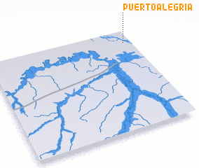
Puerto Alegría (Loreto, Peru)Puerto Alegría is a town in the Loreto region of Peru. An overview map of the region around Puerto Alegría is displayed below.
regional and 3d topo map of Puerto Alegría, Peru ::

Puerto Alegría airports ::
The nearest airport is LET - Leticia Alfredo Vasquez Cobo, located 14.3 km south east of Puerto Alegría.
Other airports nearby include TBT - Tabatinga (19.6 km south east), Nearby towns ::
 Places with similar names to Puerto Alegría, Peru ::
// Porto Alegre (BR)
// Pôrto Alegre (BR)
// Pôrto Alegre (BR)
// Pôrto Alegre (BR)
// Pôrto Alegre (BR)
// Pôrto Alegre (BR)
// Pôrto Alegre (BR)
// Pôrto Alegre (BR)
// Pôrto Alegre (BR)
// Pôrto Alegre (BR)
Disclaimer :: Information on this page comes without warranty of any kind |
||
|
Where is Puerto Alegría? Elevation and coordinates ::
Latitude (lat): 4°7'7"S Longitude (lon): 70°2'52"W
Elevation (approx.): 64m (map arrows pan, magnifying glasses zoom) |
||
|
Visiting Puerto Alegría? Hotel/Accommodation ::
Book a hotel in Puerto Alegría Travel Guide ::
Buy a travel guide for Peru rental cars ::
car rental offers GPS waypoint ::
download a GPX waypoint (PoI) of Puerto Alegría for your GPS receiver
|
||