|
search place name
|
||
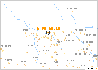
Sapansalla (Cusco, Peru)Sapansalla is a town in the Cusco region of Peru. An overview map of the region around Sapansalla is displayed below.
regional and 3d topo map of Sapansalla, Peru ::
Sapansalla airports ::
The nearest airport is JUL - Juliaca, located 129.0 km south east of Sapansalla.
Other airports nearby include AQP - Arequipa Rodriguez Ballon (150.8 km south), CUZ - Cuzco Teniente Alejandro Velasco Astete Intl (179.0 km north west), Nearby towns ::
Cuncapata (0.6km east) //
Cajuncancha (0.9km south east) //
Quisitera (1.1km north east) //
Chopaicollane (1.2km south west) //
Huarmirume (1.2km south) //
Colta (1.4km west) //
Chuca (1.6km south east) //
Pacrapucra (1.9km east) //
Chocollo (2.0km south east) //
Soracunca (2.0km west) //
Quinsapuccio (2.0km east) //
Chimapaccata (2.6km east) //
Socayllo (2.8km west) //
Sucailla (3.0km south east) //
Santa Maria (3.4km south east) //
Huacastana (3.5km south) //
Machaicata (3.8km south east) //
Calvario (3.9km west) //
Patillane (3.9km west) //
Pauletapa (4.3km south east) //
Pause (4.4km south) //
Coñamoro (4.4km west) //
Chocosillane Pucara (4.5km west) //
Cochataña (4.8km south east) //
Huallata (4.8km south west) //
Choco (4.9km west) //
Hacienda San Martin (5.1km south west) //
San Ramón (5.2km east) //
Lecre (5.4km south east) //
[all distances 'as the bird flies' and approximate] 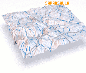 Places with similar names to Sapansalla, Peru ::
// Spinazzola (IT)
Disclaimer :: Information on this page comes without warranty of any kind |
||
|
Where is Sapansalla? Elevation and coordinates ::
Latitude (lat): 15°0'50"S Longitude (lon): 71°15'51"W
Elevation (approx.): 4209m (map arrows pan, magnifying glasses zoom) |
||
|
Visiting Sapansalla? Hotel/Accommodation ::
Book a hotel in Sapansalla Travel Guide ::
Buy a travel guide for Peru rental cars ::
car rental offers GPS waypoint ::
download a GPX waypoint (PoI) of Sapansalla for your GPS receiver
|
||