|
search place name
|
||
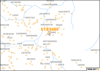
Stieshar (Junín, Peru)Stieshar is a town in the Junín region of Peru. An overview map of the region around Stieshar is displayed below.
regional and 3d topo map of Stieshar, Peru ::
Stieshar airports ::
The nearest airport is LIM - Lima Jorge Chavez Intl, located 187.5 km south west of Stieshar.
Other airports nearby include AYP - Ayacucho Coronel Fap Alfredo Mendivil Duarte (251.6 km south east), Nearby towns ::
Tambo (1.1km east) //
Valdivia (1.3km north west) //
Patay (1.6km west) //
Santo Domingo (3.1km south) //
Culebravoc (3.2km north east) //
Churupalla (3.2km east) //
Huayauniyoc (3.4km north) //
Tiripalana (4.3km east) //
Palca (4.4km south) //
Nahuin (4.5km north east) //
Carpapata (5.1km north) //
Cachiyacu (5.5km north) //
Matripunco (5.5km north east) //
Llaosacaca (5.6km south west) //
Filo Tatapata (6.4km south) //
Huandunga (6.4km south west) //
Jangura (6.7km south) //
Azucenapampa (6.8km north) //
Chipocayo (6.8km south west) //
Rocroc (6.8km north west) //
Huasahuasi (6.8km west) //
Matichaca (7.0km north) //
Yaroca (7.0km south) //
Churca (7.1km south) //
Santa Fe (7.1km south west) //
Tornameza (7.2km north west) //
Llanco (7.2km north west) //
Casacoto (7.3km south) //
Huatesloma (7.3km north east) //
[all distances 'as the bird flies' and approximate] 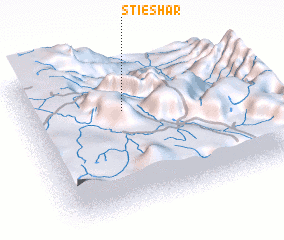
Disclaimer :: Information on this page comes without warranty of any kind |
||
|
Where is Stieshar? Elevation and coordinates ::
Latitude (lat): 11°18'31"S Longitude (lon): 75°33'17"W
Elevation (approx.): 2649m (map arrows pan, magnifying glasses zoom) |
||
|
Visiting Stieshar? Hotel/Accommodation ::
Book a hotel in Stieshar Travel Guide ::
Buy a travel guide for Peru rental cars ::
car rental offers GPS waypoint ::
download a GPX waypoint (PoI) of Stieshar for your GPS receiver
|
||