|
search place name
|
||
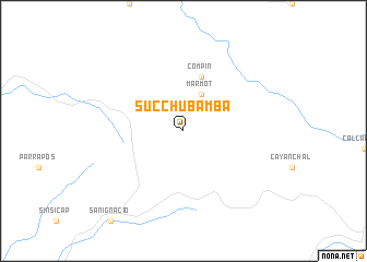
Succhubamba (La Libertad, Peru)Succhubamba is a town in the La Libertad region of Peru. An overview map of the region around Succhubamba is displayed below.
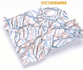
regional and 3d topo map of Succhubamba, Peru ::
Succhubamba airports ::
The nearest airport is TRU - Trujillo Capitan Carlos Martinez De Pinillos, located 62.5 km south west of Succhubamba.
Other airports nearby include CHM - Chimbote Teniente Jaime A De Montreuil Morales (155.4 km south), CIX - Chiclayo Capt Jose A Quinones Gonzales Intl (168.1 km north west), CHH - Chachapoyas (192.4 km north east), ATA - Anta Comandante Fap German Arias Graziani (211.2 km south east), Nearby towns ::
 Places with similar names to Succhubamba, Peru ::
// Socchabamba (PE)
Disclaimer :: Information on this page comes without warranty of any kind |
||
|
Where is Succhubamba? Elevation and coordinates ::
Latitude (lat): 7°45'0"S Longitude (lon): 78°39'0"W
Elevation (approx.): 2976m (map arrows pan, magnifying glasses zoom) |
||
|
Visiting Succhubamba? Hotel/Accommodation ::
Book a hotel in Succhubamba Travel Guide ::
Buy a travel guide for Peru rental cars ::
car rental offers GPS waypoint ::
download a GPX waypoint (PoI) of Succhubamba for your GPS receiver
|
||