|
search place name
|
||
Tunacancha (Pasco, Peru)Tunacancha is a town in the Pasco region of Peru. An overview map of the region around Tunacancha is displayed below.
regional and 3d topo map of Tunacancha, Peru ::

Tunacancha airports ::
The nearest airport is ATA - Anta Comandante Fap German Arias Graziani, located 175.2 km north west of Tunacancha.
Other airports nearby include LIM - Lima Jorge Chavez Intl (178.9 km south), Nearby towns ::
Huasca (0.7km south) //
Caropaco (1.3km north east) //
Yanahuanca (2.2km east) //
Allayu (3.5km south) //
Huairacirca (3.7km north east) //
Quitishcancha (3.8km west) //
Corma (4.3km south) //
Iscaycancha (4.3km west) //
Rocco (4.5km north east) //
Jatun Pozo (4.6km south) //
Quesca (5.0km west) //
Yanacocha (5.2km north) //
Paccha (5.4km south) //
Ranracancha (5.4km south west) //
Yanacancha (5.6km north) //
Potrero (5.7km west) //
Jigantón (5.8km south west) //
Chipucota (5.8km west) //
Shiripata (6.1km south west) //
Murmunia (6.2km south) //
Ishancancha (6.3km south west) //
Urcupchacran (6.2km west) //
Mesapata (6.4km south west) //
Huaychao Marca (6.4km west) //
Verde Pampa (6.4km west) //
Chaqui Puquio (6.5km south west) //
Pumacaca (6.8km west) //
Caracancha (7.0km south) //
Cashapata (6.9km west) //
[all distances 'as the bird flies' and approximate] 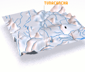 Places with similar names to Tunacancha, Peru ::
// Tunacancha (PE)
// Tunacancha (PE)
Disclaimer :: Information on this page comes without warranty of any kind |
||
|
Where is Tunacancha? Elevation and coordinates ::
Latitude (lat): 10°30'54"S Longitude (lon): 76°31'7"W
Elevation (approx.): 3870m (map arrows pan, magnifying glasses zoom) |
||
|
Visiting Tunacancha? Hotel/Accommodation ::
Book a hotel in Tunacancha Travel Guide ::
Buy a travel guide for Peru rental cars ::
car rental offers GPS waypoint ::
download a GPX waypoint (PoI) of Tunacancha for your GPS receiver
|
||