|
search place name
|
||
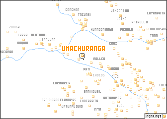
Umachuranga (Lima, Peru)Umachuranga is a town in the Lima region of Peru. An overview map of the region around Umachuranga is displayed below.
regional and 3d topo map of Umachuranga, Peru ::
Umachuranga airports ::
The nearest airport is PIO - Pisco Intl, located 102.7 km south of Umachuranga.
Other airports nearby include LIM - Lima Jorge Chavez Intl (162.5 km north west), AYP - Ayacucho Coronel Fap Alfredo Mendivil Duarte (186.1 km east), Nearby towns ::
Quichca (1.1km west) //
Suquia (1.9km south east) //
Chucchupata (3.3km south east) //
Pati (3.4km south) //
Molle Grande (3.7km west) //
Hacienda (3.8km south east) //
Pallca (3.8km east) //
Buenavista (4.3km east) //
Armanca (4.6km west) //
Yaya (4.9km south) //
Maraipata (5.6km south east) //
San Antonio (5.7km north west) //
Piedra Grande (5.7km east) //
Chocos (5.8km south east) //
San Jerónimo (6.0km north west) //
Llangas Tambo (6.0km north west) //
Carhuay (6.1km east) //
San Mateo (6.3km south) //
Tucsilla (6.3km south east) //
Huayllampi (6.7km north) //
San Miguel (6.7km north west) //
Laurimarca (6.8km south west) //
Huano Grande (7.0km north east) //
Cruz (7.2km east) //
Llangas Rinconada (7.2km west) //
Casa Blanca (7.4km north) //
Sayhua (7.5km south) //
Huangáscar (7.4km south east) //
Callanapaquisca (7.6km north) //
[all distances 'as the bird flies' and approximate] 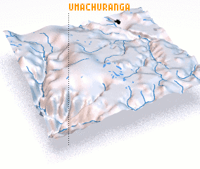 Places with similar names to Umachuranga, Peru :: Disclaimer :: Information on this page comes without warranty of any kind |
||
|
Where is Umachuranga? Elevation and coordinates ::
Latitude (lat): 12°52'21"S Longitude (lon): 75°53'44"W
Elevation (approx.): 1476m (map arrows pan, magnifying glasses zoom) |
||
|
Visiting Umachuranga? Hotel/Accommodation ::
Book a hotel in Umachuranga Travel Guide ::
Buy a travel guide for Peru rental cars ::
car rental offers GPS waypoint ::
download a GPX waypoint (PoI) of Umachuranga for your GPS receiver
|
||