|
search place name
|
||
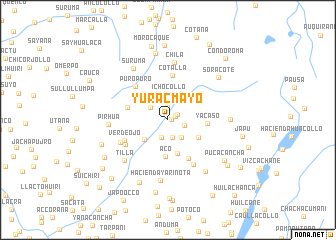
Yuracmayo (Arequipa, Peru)Yuracmayo is a town in the Arequipa region of Peru. An overview map of the region around Yuracmayo is displayed below.
regional and 3d topo map of Yuracmayo, Peru ::
Yuracmayo airports ::
The nearest airport is JUL - Juliaca, located 107.0 km east of Yuracmayo.
Other airports nearby include AQP - Arequipa Rodriguez Ballon (124.4 km south), CUZ - Cuzco Teniente Alejandro Velasco Astete Intl (213.6 km north west), Nearby towns ::
Buena Vista (0.4km east) //
Achuranja (0.9km north east) //
Lupinilla (1.1km north west) //
Catacollo (1.2km north east) //
Flor de Vaivilla (1.4km north) //
Chillhuaranca (1.9km east) //
Puca Puca (2.0km south) //
Yurac Cancha (2.1km south) //
Pascana (2.4km north west) //
Norma (2.5km south east) //
Vaivilla (2.6km north west) //
Ichocollo (2.9km north) //
Choco (3.2km north east) //
Ajepata (3.3km south west) //
Sacsa (3.9km south) //
Yacaso (3.8km south east) //
Aco (4.1km south) //
Yacaso (4.3km east) //
Laraycho (4.6km west) //
Santa Barbara (4.8km south east) //
Cotalla (5.0km north) //
Puro Puro (5.1km north west) //
Verde Ojo (5.2km south west) //
Añacaña (5.3km south west) //
Larca (5.7km south east) //
Turpa (5.7km south west) //
Chila (6.4km north) //
Pirhua (6.4km west) //
Tilla (6.5km south west) //
[all distances 'as the bird flies' and approximate] 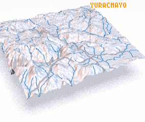 Places with similar names to Yuracmayo, Peru ::
Disclaimer :: Information on this page comes without warranty of any kind |
||
|
Where is Yuracmayo? Elevation and coordinates ::
Latitude (lat): 15°18'7"S Longitude (lon): 71°8'24"W
Elevation (approx.): 4655m (map arrows pan, magnifying glasses zoom) |
||
|
Visiting Yuracmayo? Hotel/Accommodation ::
Book a hotel in Yuracmayo Travel Guide ::
Buy a travel guide for Peru rental cars ::
car rental offers GPS waypoint ::
download a GPX waypoint (PoI) of Yuracmayo for your GPS receiver
|
||