|
search place name
|
||
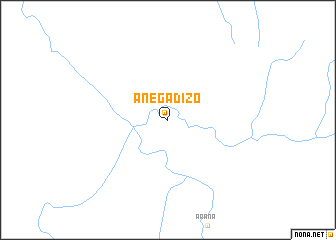
Anegadizo (Amazonas, Venezuela)Anegadizo is a town in the Amazonas region of Venezuela. An overview map of the region around Anegadizo is displayed below.
regional and 3d topo map of Anegadizo, Venezuela ::
Anegadizo airports ::
The nearest airport is PYH - Puerto Ayacucho Casique Aramare, located 119.4 km north of Anegadizo.
Other airports nearby include PCR - Puerto Carreno (182.1 km north), Nearby towns ::
[all distances 'as the bird flies' and approximate] 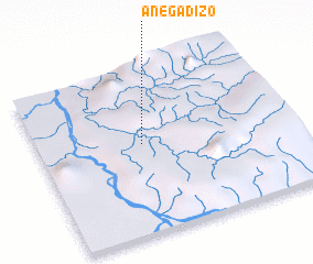 Places with similar names to Anegadizo, Venezuela ::
// Anikatsi (EE)
// Angudes (ES)
// Anakataza (MG)
// Ankatso (MG)
// Ankouadzia (CG)
// Angatsi (IN)
// Áno Gatzéa (GR)
Disclaimer :: Information on this page comes without warranty of any kind |
||
|
Where is Anegadizo? Elevation and coordinates ::
Latitude (lat): 4°32'25"N Longitude (lon): 67°35'7"W
Elevation (approx.): 110m (map arrows pan, magnifying glasses zoom) |
||
|
Visiting Anegadizo? Hotel/Accommodation ::
Book a hotel in Anegadizo Travel Guide ::
Buy a travel guide for Venezuela rental cars ::
car rental offers GPS waypoint ::
download a GPX waypoint (PoI) of Anegadizo for your GPS receiver
|
||