|
search place name
|
||
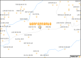
Don Fernando (Cojedes, Venezuela)Don Fernando is a town in the Cojedes region of Venezuela. An overview map of the region around Don Fernando is displayed below.
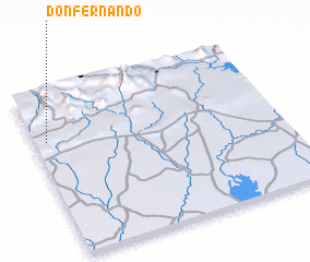
regional and 3d topo map of Don Fernando, Venezuela ::
Don Fernando airports ::
The nearest airport is VLN - Valencia Arturo Michelena Intl, located 49.8 km north of Don Fernando.
Other airports nearby include PBL - Puerto Cabello General Bartolome Salom Intl (87.4 km north), SFH - San Felipe Sub Teniente Nestor Arias (109.0 km north west), AGV - Acarigua Oswaldo Guevara Mujica (142.2 km west), CCS - Caracas Simon Bolivar Intl (145.0 km north east), Nearby towns ::
 Places with similar names to Don Fernando, Venezuela :: Disclaimer :: Information on this page comes without warranty of any kind |
||
|
Where is Don Fernando? Elevation and coordinates ::
Latitude (lat): 9°42'0"N Longitude (lon): 67°57'0"W
Elevation (approx.): 194m (map arrows pan, magnifying glasses zoom) |
||
|
Visiting Don Fernando? Hotel/Accommodation ::
Book a hotel in Don Fernando Travel Guide ::
Buy a travel guide for Venezuela rental cars ::
car rental offers GPS waypoint ::
download a GPX waypoint (PoI) of Don Fernando for your GPS receiver
|
||