|
search place name
|
||
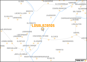
Los Alazanos (Guárico, Venezuela)Los Alazanos is a town in the Guárico region of Venezuela. An overview map of the region around Los Alazanos is displayed below.
regional and 3d topo map of Los Alazanos, Venezuela ::
Los Alazanos airports ::
The nearest airport is VDP - Valle De La Pascua, located 58.3 km south of Los Alazanos.
Other airports nearby include BLA - Barcelona General Jose Antonio Anzoategui Intl (145.2 km east), CCS - Caracas Simon Bolivar Intl (147.1 km north west), AAO - Anaco (167.5 km east), CUM - Cumana Antonio Jose De Sucre (215.3 km east), Nearby towns ::
Crucero El Totumo (3.3km south) //
Aguada del Cielo (4.4km south east) //
El Cinco (5.7km south east) //
El Vedero (5.8km south west) //
El Coquito (5.8km north west) //
La Joseera (6.6km north east) //
El Herredero (6.7km south west) //
Las Piedras (7.0km west) //
José del Carmen (9.3km south west) //
Arenita (9.7km north west) //
La Rubita (9.9km south west) //
Cedro Las Raíces (11.2km north east) //
[all distances 'as the bird flies' and approximate] 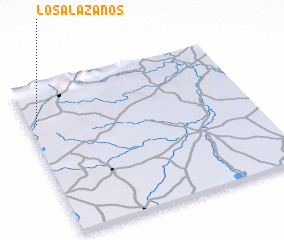 Places with similar names to Los Alazanos, Venezuela ::
Disclaimer :: Information on this page comes without warranty of any kind |
||
|
Where is Los Alazanos? Elevation and coordinates ::
Latitude (lat): 9°44'52"N Longitude (lon): 65°57'44"W
Elevation (approx.): 190m (map arrows pan, magnifying glasses zoom) |
||
|
Visiting Los Alazanos? Hotel/Accommodation ::
Book a hotel in Los Alazanos Travel Guide ::
Buy a travel guide for Venezuela rental cars ::
car rental offers GPS waypoint ::
download a GPX waypoint (PoI) of Los Alazanos for your GPS receiver
|
||