|
search place name
|
||
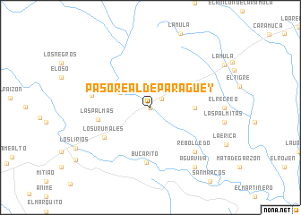
Paso Real de Paragüey (Barinas, Venezuela)Paso Real de Paragüey is a town in the Barinas region of Venezuela. An overview map of the region around Paso Real de Paragüey is displayed below.
regional and 3d topo map of Paso Real de Paragüey, Venezuela ::
Paso Real de Paragüey airports ::
The nearest airport is BNS - Barinas, located 27.7 km north east of Paso Real de Paragüey.
Other airports nearby include MRD - Merida Alberto Carnevalli (78.6 km west), VLV - Valera Dr Antonio Nicolas Briceno (92.3 km north), GUQ - Guanare (95.0 km north east), AUC - Arauca Santiago Perez (163.2 km south), Nearby towns ::
Pagüey (0.0km north) //
El Pagüey (1.7km north east) //
Camuri (4.1km north west) //
Agua Caliente (5.5km east) //
Las Palmas (6.6km west) //
Los Urumales (6.8km south west) //
Bucarito (6.9km south) //
La Chiquita (7.4km west) //
Rebolledo (7.8km south east) //
Agua Viva (9.2km south east) //
[all distances 'as the bird flies' and approximate] 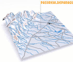 Places with similar names to Paso Real de Paragüey, Venezuela :: Disclaimer :: Information on this page comes without warranty of any kind |
||
|
Where is Paso Real de Paragüey? Elevation and coordinates ::
Latitude (lat): 8°31'0"N Longitude (lon): 70°27'0"W
Elevation (approx.): 191m (map arrows pan, magnifying glasses zoom) |
||
|
Visiting Paso Real de Paragüey? Hotel/Accommodation ::
Book a hotel in Paso Real de Paragüey Travel Guide ::
Buy a travel guide for Venezuela rental cars ::
car rental offers GPS waypoint ::
download a GPX waypoint (PoI) of Paso Real de Paragüey for your GPS receiver
|
||