|
search place name
|
||
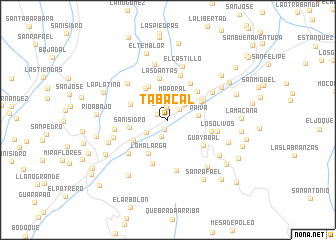
Tabacal (Mérida, Venezuela)Tabacal is a town in the Mérida region of Venezuela. An overview map of the region around Tabacal is displayed below.
regional and 3d topo map of Tabacal, Venezuela ::
Tabacal airports ::
The nearest airport is MRD - Merida Alberto Carnevalli, located 61.0 km east of Tabacal.
Other airports nearby include LFR - La Fria (67.2 km west), STB - Santa Barbara Del Zulia (71.4 km north west), STD - Santo Domingo Mayor Buenaventura Vivas (98.8 km south west), SVZ - San Antonio Del Tachira (103.2 km south west), Nearby towns ::
Villa Socorro (1.1km south) //
Pata de Gallina (1.3km north west) //
Valladolid (1.4km north) //
Cuesta de Pernia (1.7km north east) //
El Cacique (2.0km south) //
Santa Ines (2.4km north west) //
Los Ranchos (2.5km north east) //
Maporal (2.7km north) //
Bolero (2.7km south west) //
Paiva (3.4km east) //
La Panueleta (4.2km north east) //
El Páramo (4.3km north west) //
Loma Larga (4.3km south west) //
San Isidro (4.3km west) //
El Palmar (4.3km north west) //
El Peñón (4.5km south west) //
Santa Cruz (4.5km north east) //
Las Piedras (4.5km north west) //
El Portón (4.6km north east) //
Las Dantas (4.7km north) //
El Portón (4.8km north east) //
Guayabal (4.8km south east) //
La Aguada (5.0km east) //
Cucuchica (5.1km south) //
Cuchilla de Las Guacs (5.2km north) //
Los Olivos (5.6km east) //
El Peñoncito (5.7km south west) //
Teta del Diablo (5.8km south) //
La Parada (5.8km north east) //
[all distances 'as the bird flies' and approximate] 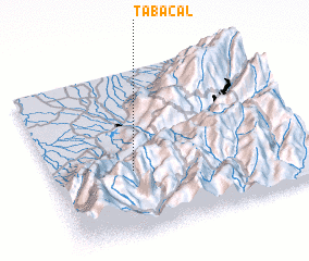 Places with similar names to Tabacal, Venezuela ::
Disclaimer :: Information on this page comes without warranty of any kind |
||
|
Where is Tabacal? Elevation and coordinates ::
Latitude (lat): 8°23'6"N Longitude (lon): 71°40'44"W
Elevation (approx.): 908m (map arrows pan, magnifying glasses zoom) |
||
|
Visiting Tabacal? Hotel/Accommodation ::
Book a hotel in Tabacal Travel Guide ::
Buy a travel guide for Venezuela rental cars ::
car rental offers GPS waypoint ::
download a GPX waypoint (PoI) of Tabacal for your GPS receiver
|
||