|
search place name
|
||
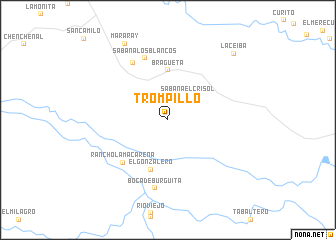
Trompillo (Apure, Venezuela)Trompillo is a town in the Apure region of Venezuela. An overview map of the region around Trompillo is displayed below.
regional and 3d topo map of Trompillo, Venezuela ::
Trompillo airports ::
The nearest airport is AUC - Arauca Santiago Perez, located 55.6 km south east of Trompillo.
Other airports nearby include STD - Santo Domingo Mayor Buenaventura Vivas (97.9 km west), TME - Tame (109.4 km south west), MRD - Merida Alberto Carnevalli (145.6 km north), SVZ - San Antonio Del Tachira (150.8 km north west), Nearby towns ::
Sabana El Crisol (3.5km north east) //
Bragueta (5.6km north) //
El Gonzalero (5.9km south) //
Rancho La Macarena (6.9km south west) //
Sabana Los Blancos (7.4km north) //
Boca de Monte (7.5km north west) //
Boca de Burgüita (7.8km south) //
Mararay (9.8km north west) //
La Ceiba (10.4km north east) //
[all distances 'as the bird flies' and approximate] 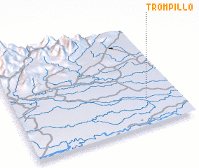 Places with similar names to Trompillo, Venezuela ::
// Trompillo (BO)
// Trîmpaiele (RO)
// Deorampalli (IN)
// Diarampalli (IN)
// Trompillo (MX)
// Trompillo (VE)
// (( Drampóla )) (GR)
// Trempealeau (US)
// Trompul (AR)
Disclaimer :: Information on this page comes without warranty of any kind |
||
|
Where is Trompillo? Elevation and coordinates ::
Latitude (lat): 7°16'0"N Longitude (lon): 71°12'0"W
Elevation (approx.): 143m (map arrows pan, magnifying glasses zoom) |
||
|
Visiting Trompillo? Hotel/Accommodation ::
Book a hotel in Trompillo Travel Guide ::
Buy a travel guide for Venezuela rental cars ::
car rental offers GPS waypoint ::
download a GPX waypoint (PoI) of Trompillo for your GPS receiver
|
||