|
search place name
|
||
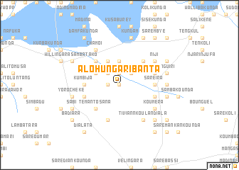
Alohungari Banta (Gambia, The)Alohungari Banta is a town in Gambia, The. An overview map of the region around Alohungari Banta is displayed below.
regional and 3d topo map of Alohungari Banta, Gambia, The ::
Alohungari Banta airports ::
The nearest airport is TUD - Tambacounda, located 73.5 km north east of Alohungari Banta.
Other airports nearby include KGG - Kedougou (221.4 km east), BXO - Bissau Oswaldo Vieira Intl (224.3 km south west), KLC - Kaolack (229.2 km north west), BXE - Bakel (250.8 km north east), Nearby towns ::
Sinchang Keykala (0.0km north) //
Sare Lalu (0.0km north) //
Bangasiya Fali (0.0km north) //
Banenko Simaila (1.9km north) //
Dandugu (1.9km north) //
Darsilame Key Koro (1.8km west) //
Sanunding (2.6km north east) //
Nioro (2.6km north east) //
Kolinto (2.6km north east) //
Tuba Tafsir (2.6km north west) //
Sinchang Saradu (3.7km north) //
Kulkulel (4.1km north west) //
Kiskisi (4.1km north west) //
Sare Bona (4.1km north west) //
Sinchang Njokala (4.1km north west) //
Kenniba (5.2km north east) //
Sabuseri (5.2km north west) //
Tinkinjo (5.2km north west) //
Temanto Sana (5.2km south west) //
Kumbija (5.4km west) //
Saré Ira (5.4km east) //
Koumbakiri (5.7km east) //
Kunjala (5.7km west) //
Amadra (5.7km east) //
Bakayoko (5.8km south) //
Tiviann Koulandiala (6.6km south east) //
Bisandugu (6.6km north east) //
Niji (6.6km north east) //
Chamoi (6.6km north west) //
[all distances 'as the bird flies' and approximate] 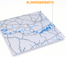 Places with similar names to Alohungari Banta, Gambia, The :: Disclaimer :: Information on this page comes without warranty of any kind |
||
|
Where is Alohungari Banta? Elevation and coordinates ::
Latitude (lat): 13°16'0"N Longitude (lon): 14°8'0"W
Elevation (approx.): 34m (map arrows pan, magnifying glasses zoom) |
||
|
Visiting Alohungari Banta? Hotel/Accommodation ::
Book a hotel in Alohungari Banta Travel Guide ::
Buy a travel guide for Gambia, The rental cars ::
car rental offers GPS waypoint ::
download a GPX waypoint (PoI) of Alohungari Banta for your GPS receiver
|
||