|
search place name
|
||
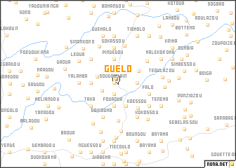
Guélo (Guékédou, Guinea)Guélo is a town in the Guékédou region of Guinea. An overview map of the region around Guélo is displayed below.
regional and 3d topo map of Guélo, Guinea ::
Guélo airports ::
The nearest airport is FAA - Faranah, located 177.3 km north west of Guélo.
Nearby towns ::
Soudoumain (0.6km west) //
Bamaï (1.7km south) //
Massabanga (2.7km south west) //
Loriomi (3.1km east) //
Boumou (3.4km west) //
Fouaoua (3.5km south) //
Boroni (3.7km south) //
Fassabléma (3.9km north east) //
Pindédou (4.0km north) //
Ginga (4.3km west) //
Koèssou (4.9km south east) //
Falo (5.2km east) //
Taka (5.5km south west) //
Sokassou (5.8km north) //
Kaiko (5.8km north west) //
Foussounkissi (5.8km south) //
Goikouma (5.9km south west) //
Bakama (5.8km north east) //
Némian (6.0km south east) //
Bomeye (6.0km south east) //
Yalamba (6.1km west) //
Kribléma (6.2km north) //
Komeye (6.2km south east) //
Pinsou (6.7km north west) //
Téoulazou (7.1km east) //
Léoua (7.1km north west) //
Kokossou (7.3km south east) //
Kollé (7.4km south west) //
Zougoulakolo (7.3km east) //
[all distances 'as the bird flies' and approximate] 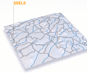 Places with similar names to Guélo, Guinea ::
Disclaimer :: Information on this page comes without warranty of any kind |
||
|
Where is Guélo? Elevation and coordinates ::
Latitude (lat): 8°38'53"N Longitude (lon): 9°57'41"W
Elevation (approx.): 528m (map arrows pan, magnifying glasses zoom) |
||
|
Visiting Guélo? Hotel/Accommodation ::
Book a hotel in Guélo Travel Guide ::
Buy a travel guide for Guinea rental cars ::
car rental offers GPS waypoint ::
download a GPX waypoint (PoI) of Guélo for your GPS receiver
|
||