|
search place name
|
||
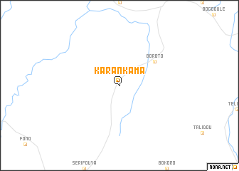
Karankama (Kouroussa, Guinea)Karankama is a town in the Kouroussa region of Guinea. An overview map of the region around Karankama is displayed below.
regional and 3d topo map of Karankama, Guinea ::
Karankama airports ::
The nearest airport is FAA - Faranah, located 124.5 km south west of Karankama.
Nearby towns ::
Boroto (6.6km north east) //
[all distances 'as the bird flies' and approximate] 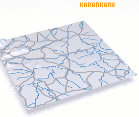 Places with similar names to Karankama, Guinea ::
// Carré-Ngamba (CF)
// Koron Gomey (NE)
// Keur Nakoumba (SN)
// Ker Ngumbo (GM)
// Kurŏngma (KR)
// Grinkoumbé (ML)
// Karanguimbé (ML)
// Gorangauma (PG)
// Hkringmaw (MM)
Disclaimer :: Information on this page comes without warranty of any kind |
||
|
Where is Karankama? Elevation and coordinates ::
Latitude (lat): 10°56'0"N Longitude (lon): 10°5'0"W
Elevation (approx.): 406m (map arrows pan, magnifying glasses zoom) |
||
|
Visiting Karankama? Hotel/Accommodation ::
Book a hotel in Karankama Travel Guide ::
Buy a travel guide for Guinea rental cars ::
car rental offers GPS waypoint ::
download a GPX waypoint (PoI) of Karankama for your GPS receiver
|
||