|
search place name
|
||
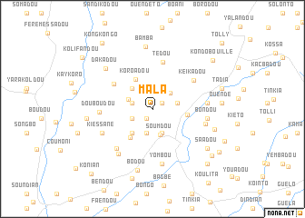
Mala (Guékédou, Guinea)Mala is a town in the Guékédou region of Guinea. An overview map of the region around Mala is displayed below.
regional and 3d topo map of Mala, Guinea ::
Mala airports ::
The nearest airport is FAA - Faranah, located 140.4 km north west of Mala.
Nearby towns ::
Kongodou (1.3km south west) //
Tedeou (1.4km north east) //
Tongui (2.6km west) //
Bambato (2.8km south west) //
Kondou (2.9km north east) //
Dingué (3.1km south) //
Solapi (3.1km east) //
Dembadou (3.1km west) //
Faendou (3.2km south) //
Soumdou (3.3km south) //
Baradou (3.6km north west) //
Fôdou (3.6km north west) //
Balédou (3.9km south west) //
Koroadou (4.2km north west) //
Yende Millimou (4.3km east) //
Dènèkénédou (4.4km south west) //
Koléadou (5.6km north west) //
Tédou (5.9km north) //
Keikadou (6.1km north east) //
Tongolo (6.5km south west) //
Douboudou (6.5km west) //
Lanktio (6.7km east) //
Millimou (6.7km east) //
Yombou (6.8km south) //
Bondou (6.8km east) //
Kongoffi (6.9km south west) //
Kiéssané (6.9km south west) //
Dakadou (7.6km north west) //
Bamba (7.7km north) //
[all distances 'as the bird flies' and approximate] 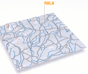 Places with similar names to Mala, Guinea ::
Disclaimer :: Information on this page comes without warranty of any kind |
||
|
Where is Mala? Elevation and coordinates ::
Latitude (lat): 8°53'37"N Longitude (lon): 10°12'38"W
Elevation (approx.): 496m (map arrows pan, magnifying glasses zoom) |
||
|
Visiting Mala? Hotel/Accommodation ::
Book a hotel in Mala Travel Guide ::
Buy a travel guide for Guinea rental cars ::
car rental offers GPS waypoint ::
download a GPX waypoint (PoI) of Mala for your GPS receiver
|
||