|
search place name
|
||
Oungwariel (Koundara, Guinea)Oungwariel is a town in the Koundara region of Guinea. An overview map of the region around Oungwariel is displayed below.
regional and 3d topo map of Oungwariel, Guinea ::

Oungwariel airports ::
The nearest airport is KGG - Kedougou, located 96.3 km east of Oungwariel.
Other airports nearby include TUD - Tambacounda (152.8 km north west), LEK - Labe (154.2 km south east), Nearby towns ::
Ouzik (0.0km north) //
Ikounoun (1.9km north) //
Tatine (1.9km north) //
Outirak (1.9km north) //
Ampank (2.6km north west) //
Oundagne (3.7km north) //
Inama (3.6km west) //
Inaouaré (3.6km west) //
Oukégué (3.7km north) //
Uéye (4.1km north west) //
Ouzou (4.1km north east) //
Itiou (5.6km north) //
Ourakaré (5.6km north) //
Bantank (5.4km west) //
Itiakourou (5.7km west) //
Mpakolo (5.8km north) //
Ikota (5.8km north) //
Ibasse (6.6km north west) //
Mbasséné (6.6km north west) //
Ourouss (7.4km north) //
Ikirote (7.2km east) //
Itiol (7.6km north) //
Ikessa (7.6km north) //
Inaye (7.8km north west) //
Unntiti (7.8km north west) //
Youkounkoun (8.2km north west) //
Momone (8.2km north west) //
Sadièye (8.2km north west) //
[all distances 'as the bird flies' and approximate] 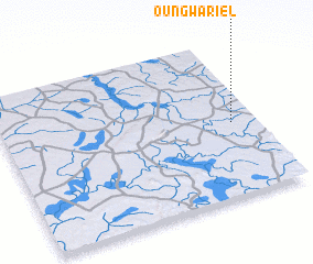 Places with similar names to Oungwariel, Guinea :: Disclaimer :: Information on this page comes without warranty of any kind |
||
|
Where is Oungwariel? Elevation and coordinates ::
Latitude (lat): 12°28'0"N Longitude (lon): 13°6'0"W
Elevation (approx.): 83m (map arrows pan, magnifying glasses zoom) |
||
|
Visiting Oungwariel? Hotel/Accommodation ::
Book a hotel in Oungwariel Travel Guide ::
Buy a travel guide for Guinea rental cars ::
car rental offers GPS waypoint ::
download a GPX waypoint (PoI) of Oungwariel for your GPS receiver
|
||